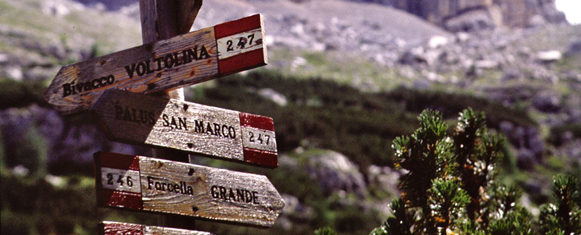
Departure: Berti Hut
Approach: Passo della Sentinella Cavernette path 101 h 2.00
Ferrata: Croda Rossa trail marker ![]() h 2.00
h 2.00
Return: Berti Hut (Equipped trail Zandonella 2nd section) h 3.00
descent to Prati Croda Rossa by via ferrata north h 3.00
Total: 7.00 am
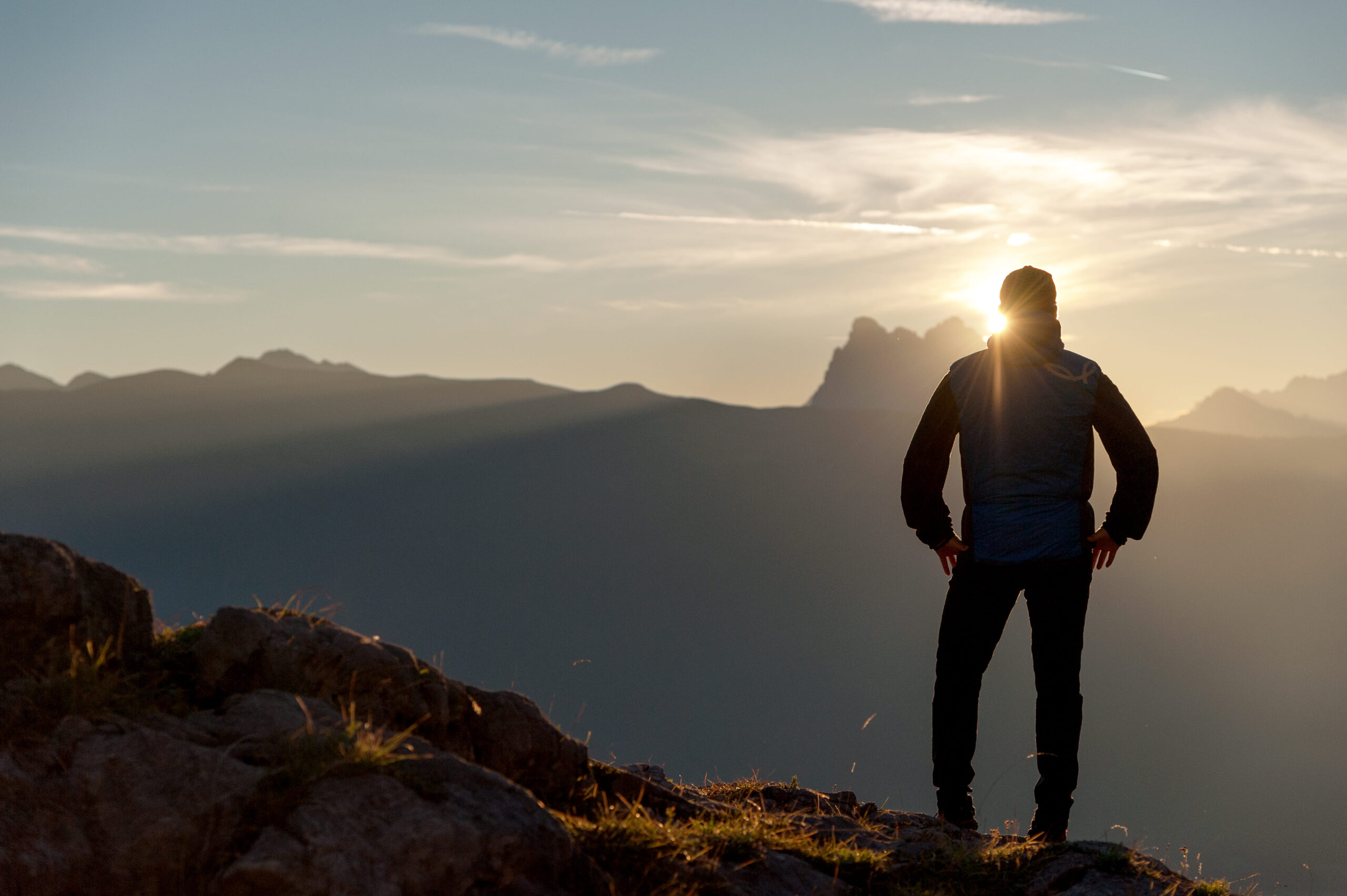
Difficulty: medium
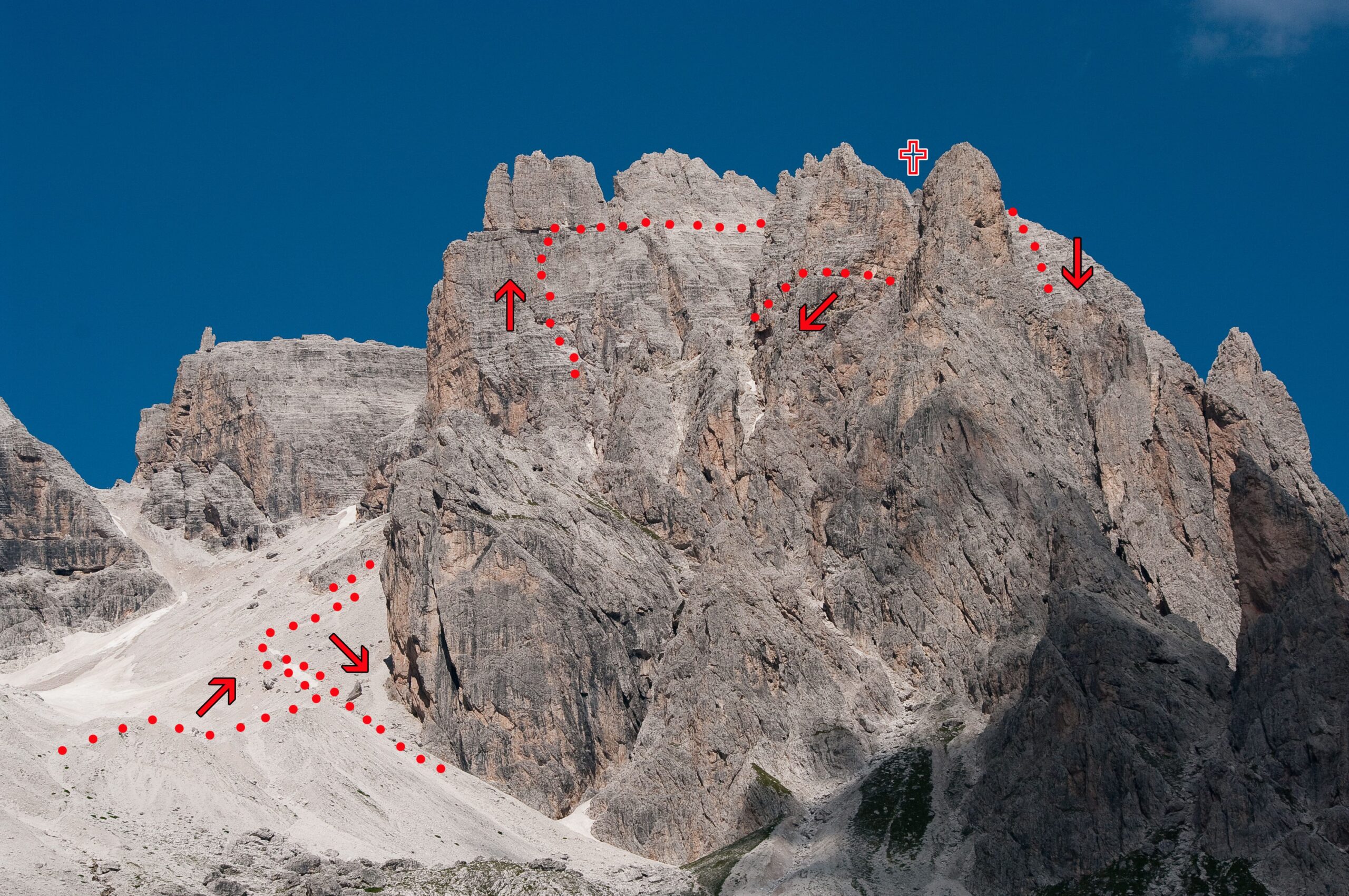
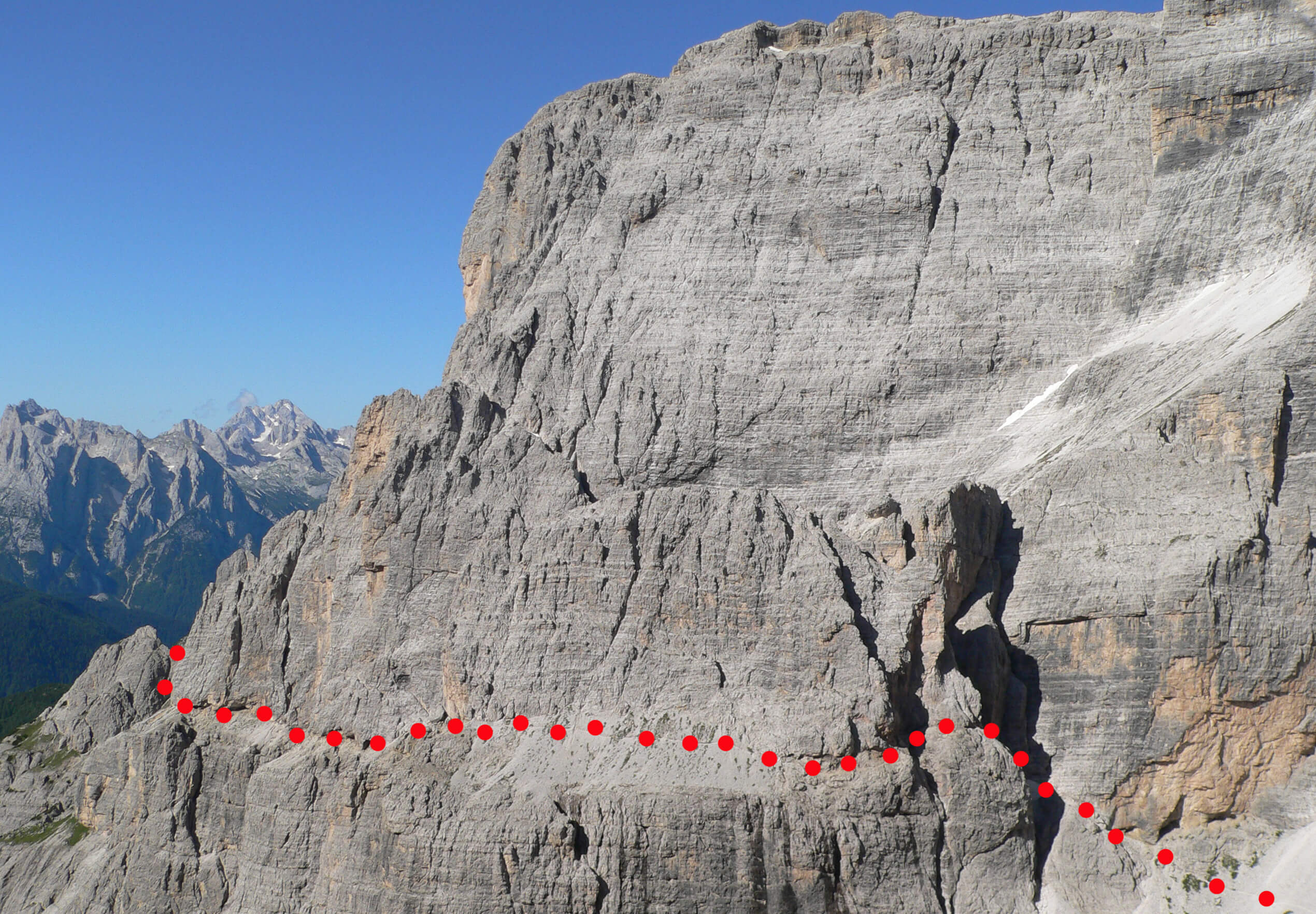
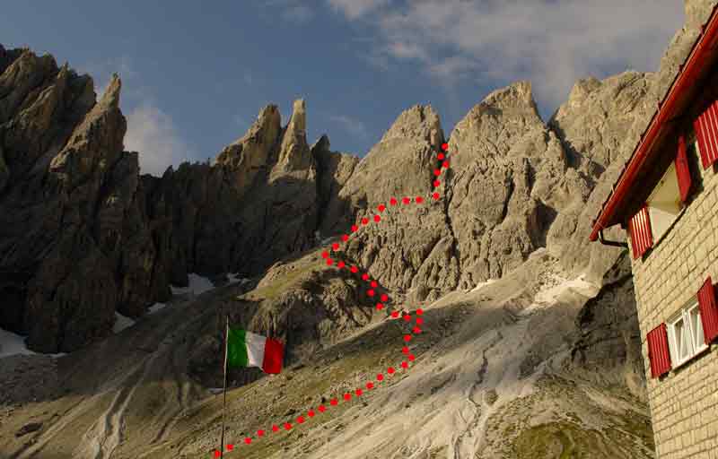
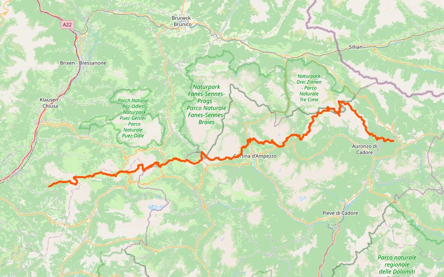
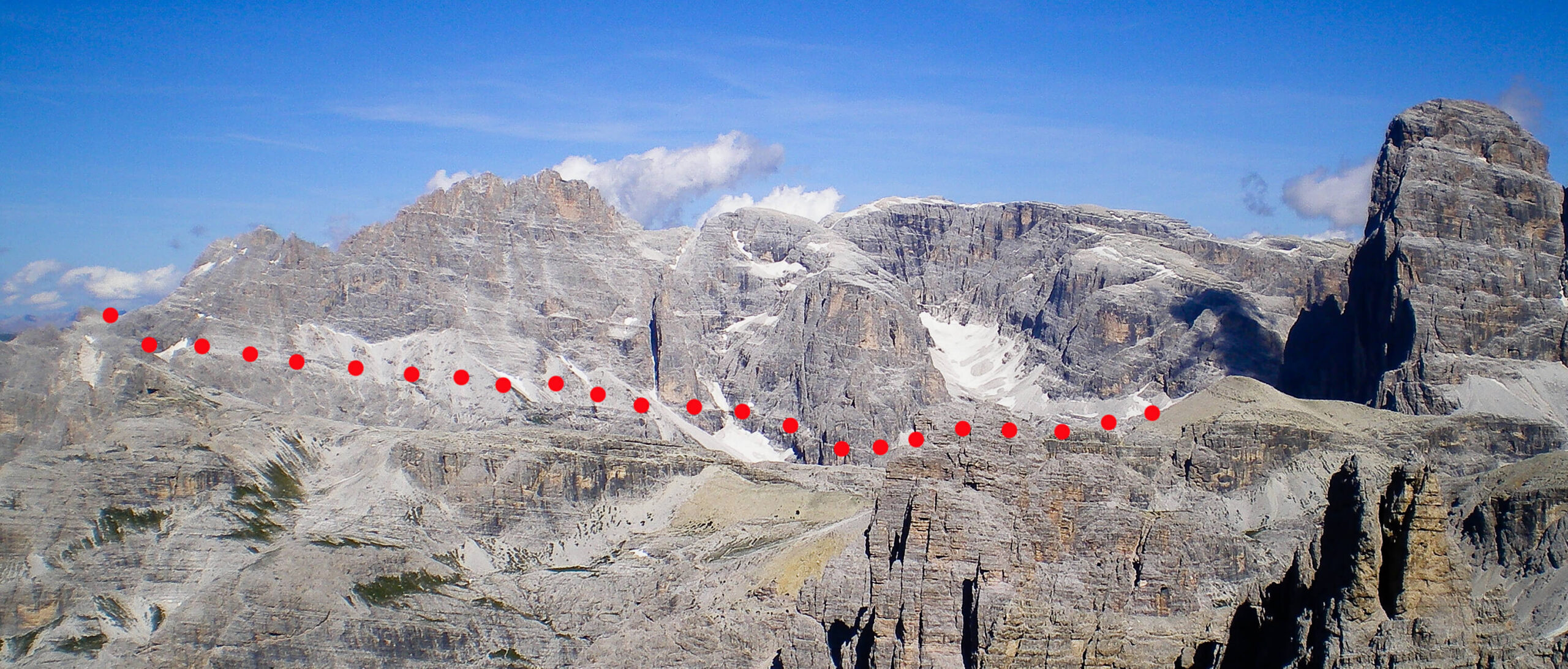
From the hut (table), take path 101 towards the North-West, slightly uphill until you reach the small lake of Vallon Popera (2142 m), then continue left along the gravels towards Passo Sentinella. At about 200 meters from the pass on the right (2550 meters), you can see the visible war caves (start of the ferrata 2620 meters) (2.00 hours).
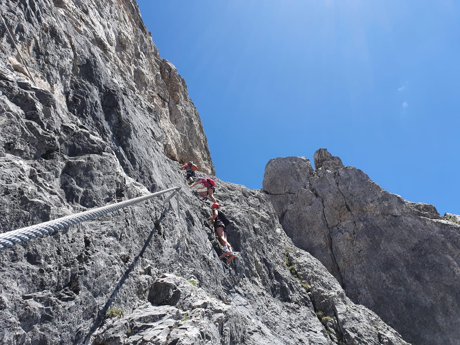
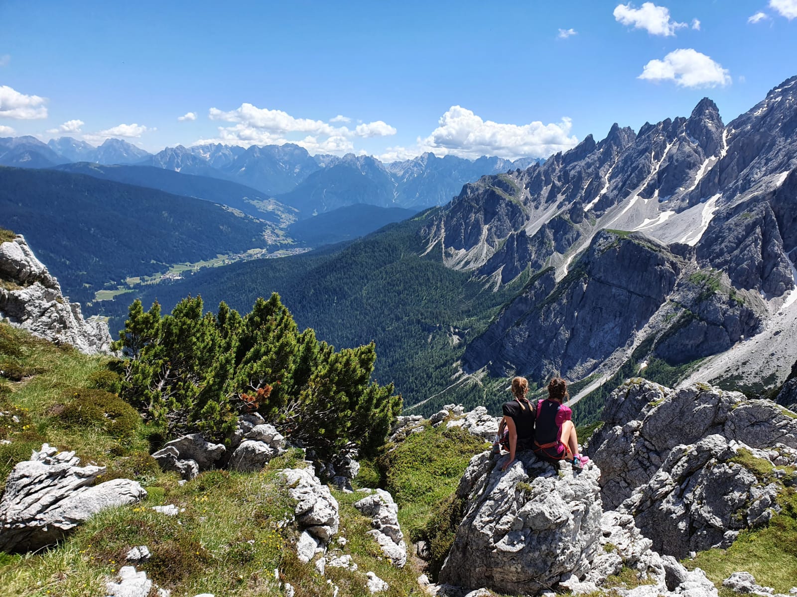
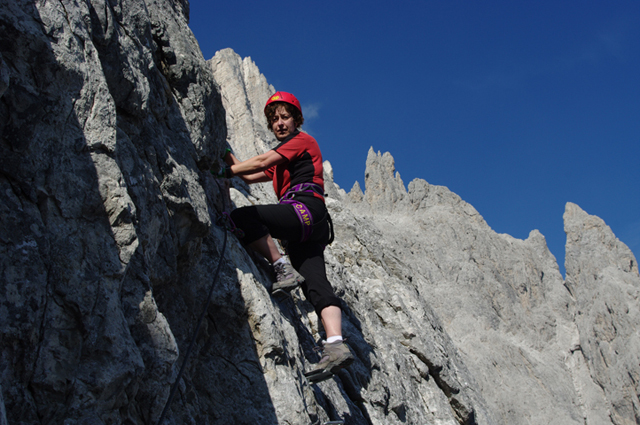
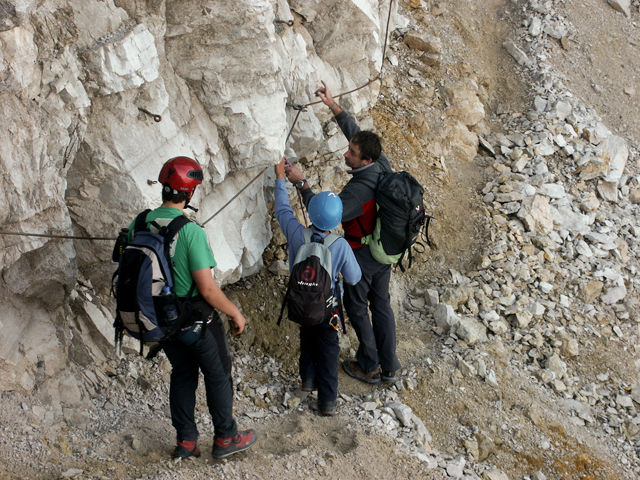
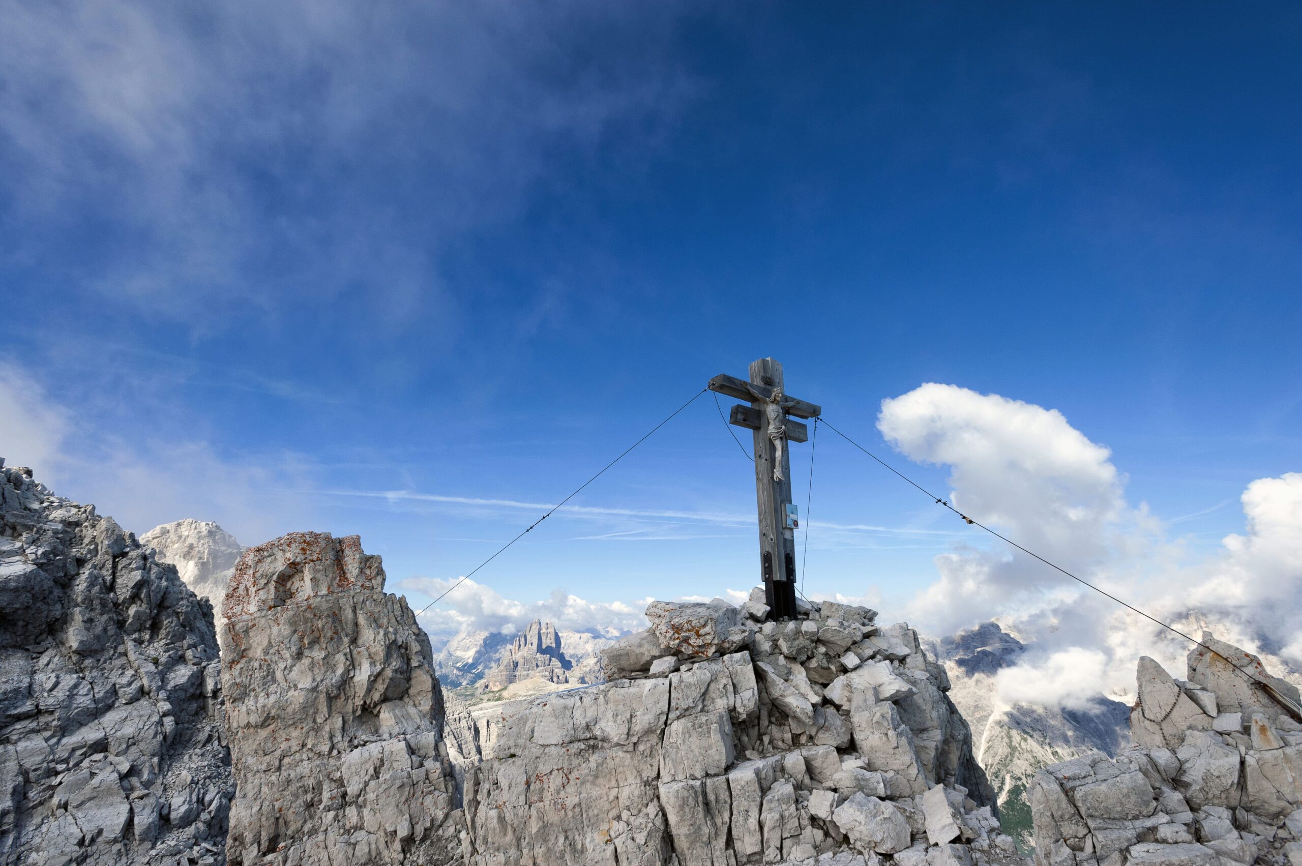
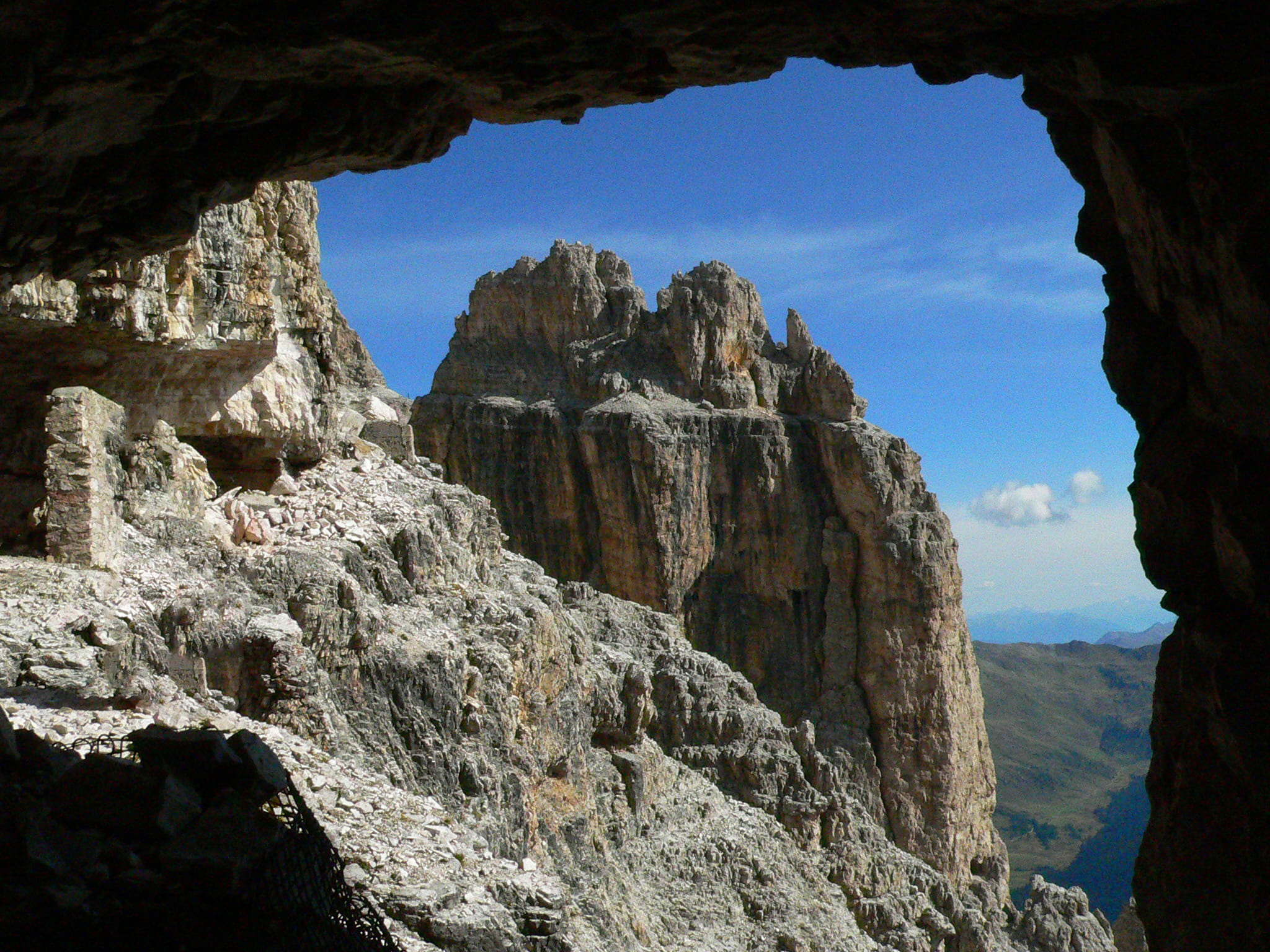
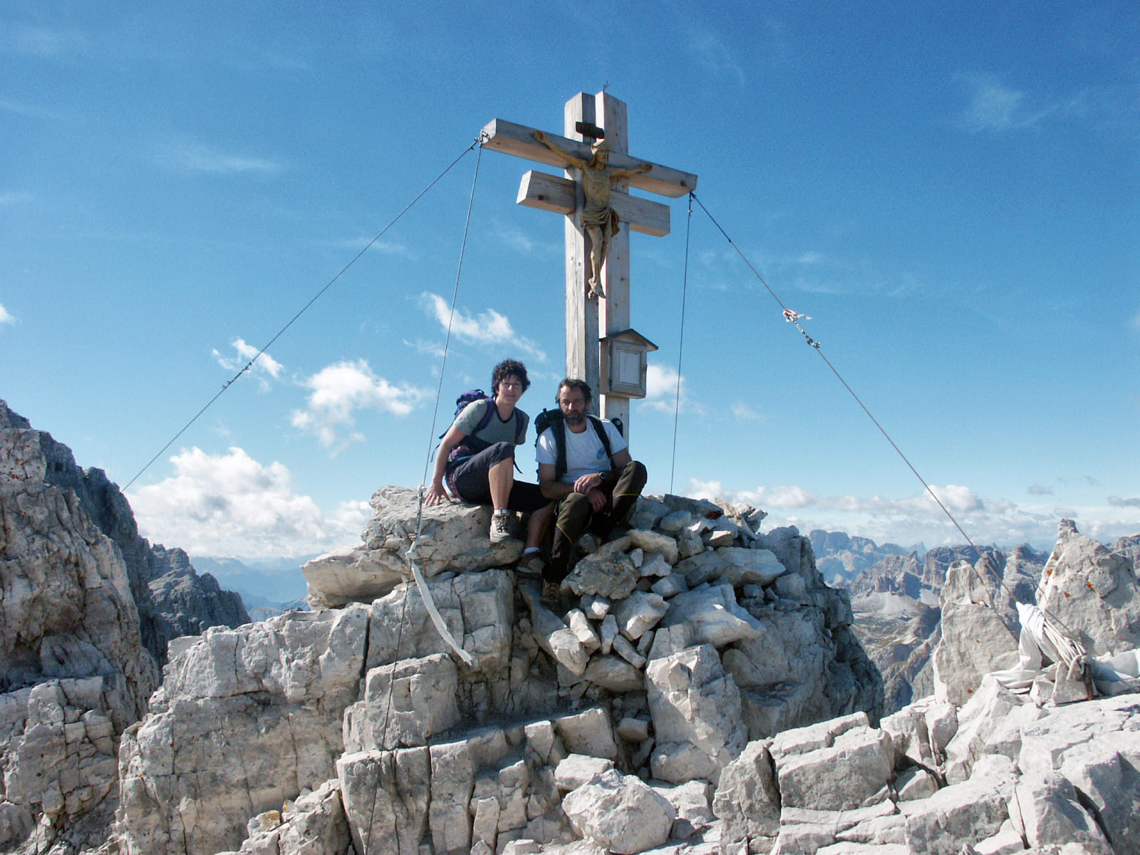
Right, with signpost![]() , you will find the equipped trail, at times exposed, which, through solid and well-stepped rocks, with fixed ropes and some jumps equipped with stairs, will lead you to the collar ledge of the Torrioni (2830 meters) where you can observe some interesting works of war. Here cross the channel from the U fork along the detrital ledge to the right and, having crossed the Ventaglio, reach the rocks of the Trapezium. On the left, following a gully and a crest saddle, you will meet the fixed ropes of the North equipped trail, coming from the Prati di Croda Rossa. For these, in short, you will reach the large wooden cross of the Observatory (2939 m) (various Austrian war works) (h 2.00, total h 4.00).
, you will find the equipped trail, at times exposed, which, through solid and well-stepped rocks, with fixed ropes and some jumps equipped with stairs, will lead you to the collar ledge of the Torrioni (2830 meters) where you can observe some interesting works of war. Here cross the channel from the U fork along the detrital ledge to the right and, having crossed the Ventaglio, reach the rocks of the Trapezium. On the left, following a gully and a crest saddle, you will meet the fixed ropes of the North equipped trail, coming from the Prati di Croda Rossa. For these, in short, you will reach the large wooden cross of the Observatory (2939 m) (various Austrian war works) (h 2.00, total h 4.00).
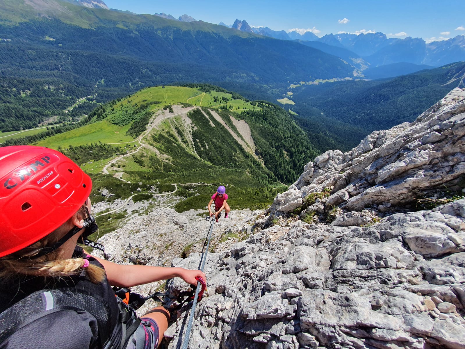
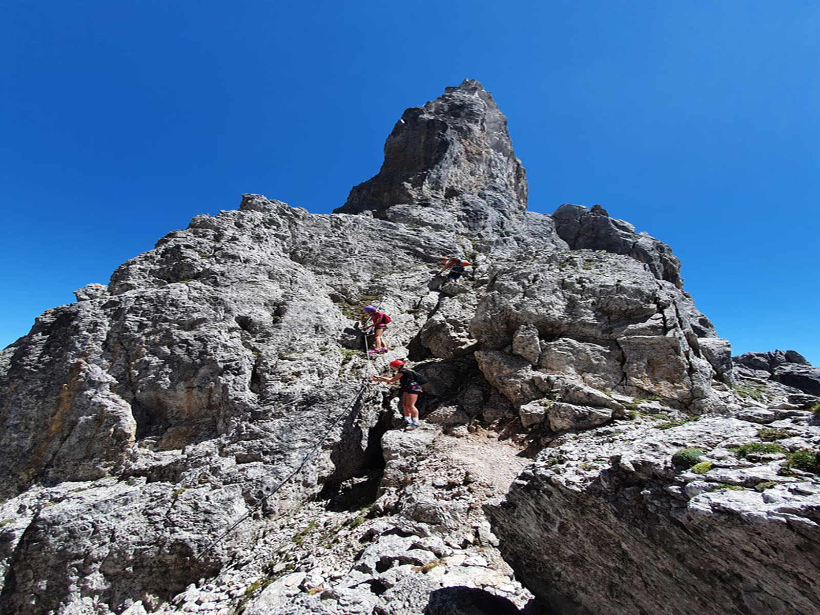
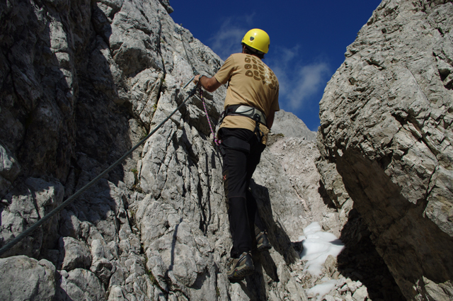
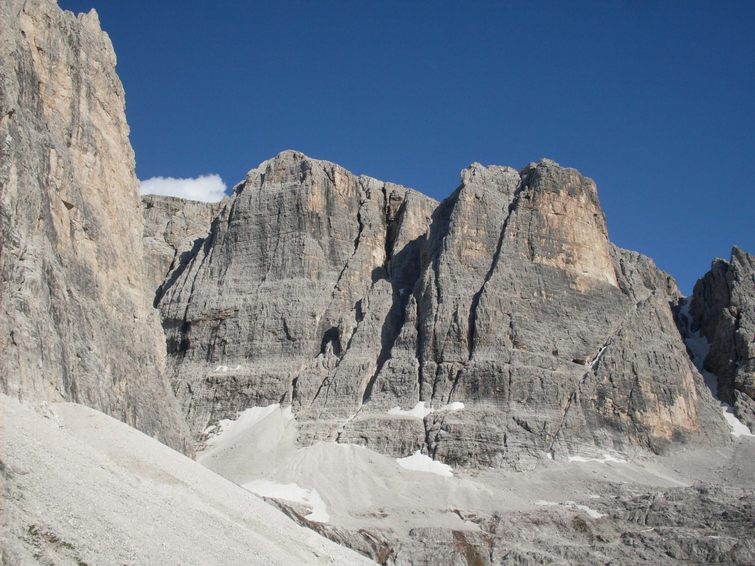
Descend slightly from the ridge in a south-easterly direction (arrow) to the first ropes of the 2nd trunk. Through steps and slabs, sometimes vertical and exposed on solid and clean rock, you descend, by fixed rope, to the gravelly basin of the Eastern Circus. Then follow, slightly downhill to the right, following the red trail and signs on gravel and snow (at the beginning of the season) to the base of the Guglie walls from where, for a fixed rope, slightly uphill towards the marked fork A, you will reach the ledge that cuts the south wall of the 1st Spire (numerous caves and works of war) (approx. 2700 m). Thanks to the aerial ledge, you will soon reach fork B, from where you can descend into the 2nd gully via some aided steps. Then, through the mobile gravels of the steep gully, passing a short distance from the start of the 1st trunk,
Alternative : From the cross of the Observatory go down to the north side following the Austrian war routes, partly equipped with fixed ropes. It then passes through the West Circus, the North Circus and the Castelliere and, in about two hours, you will reach the shelters in the Prati di Croda Rossa (1910m) and the cable car coming from Moso (Sesto Pusteria).