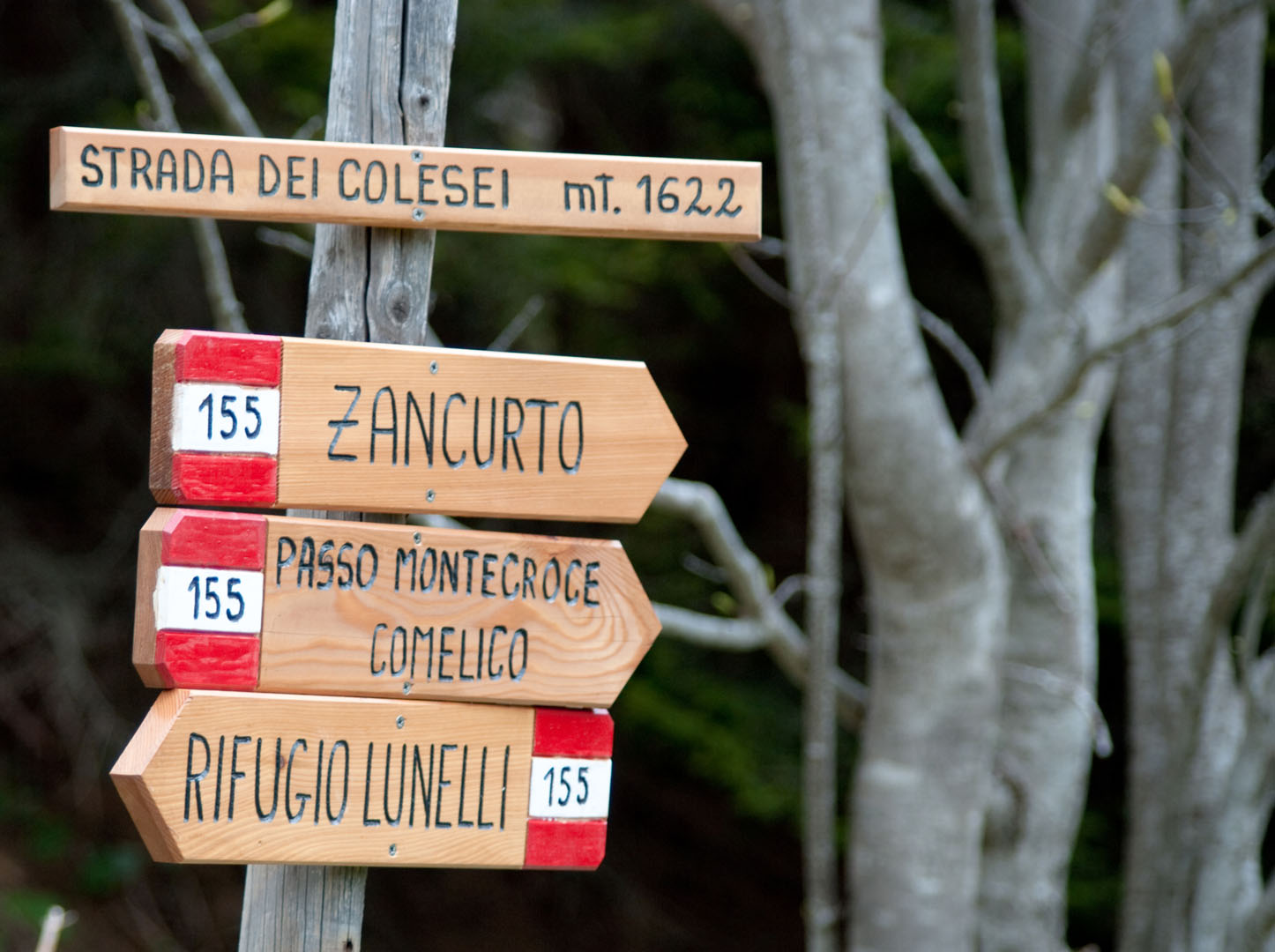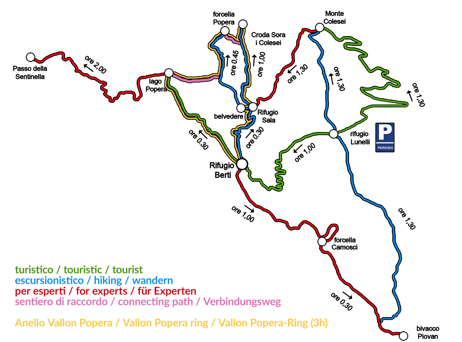

Ss: path 122 – signpost ![]() – path 101
– path 101
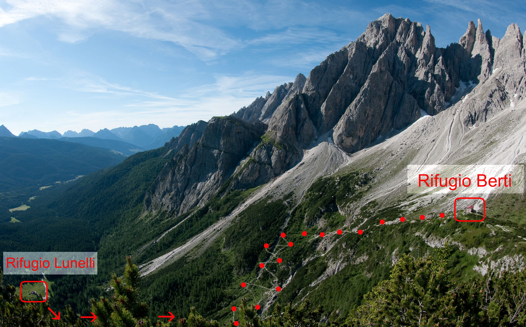
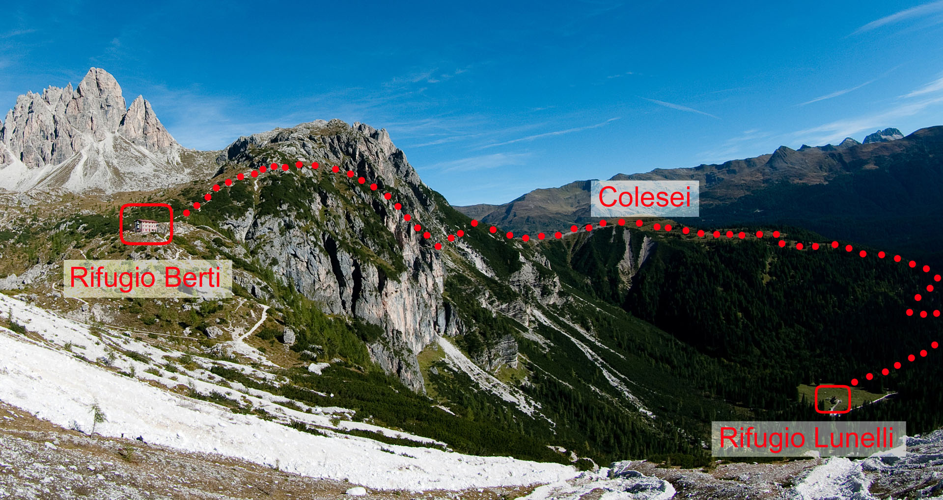
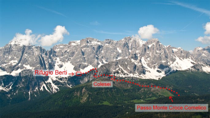
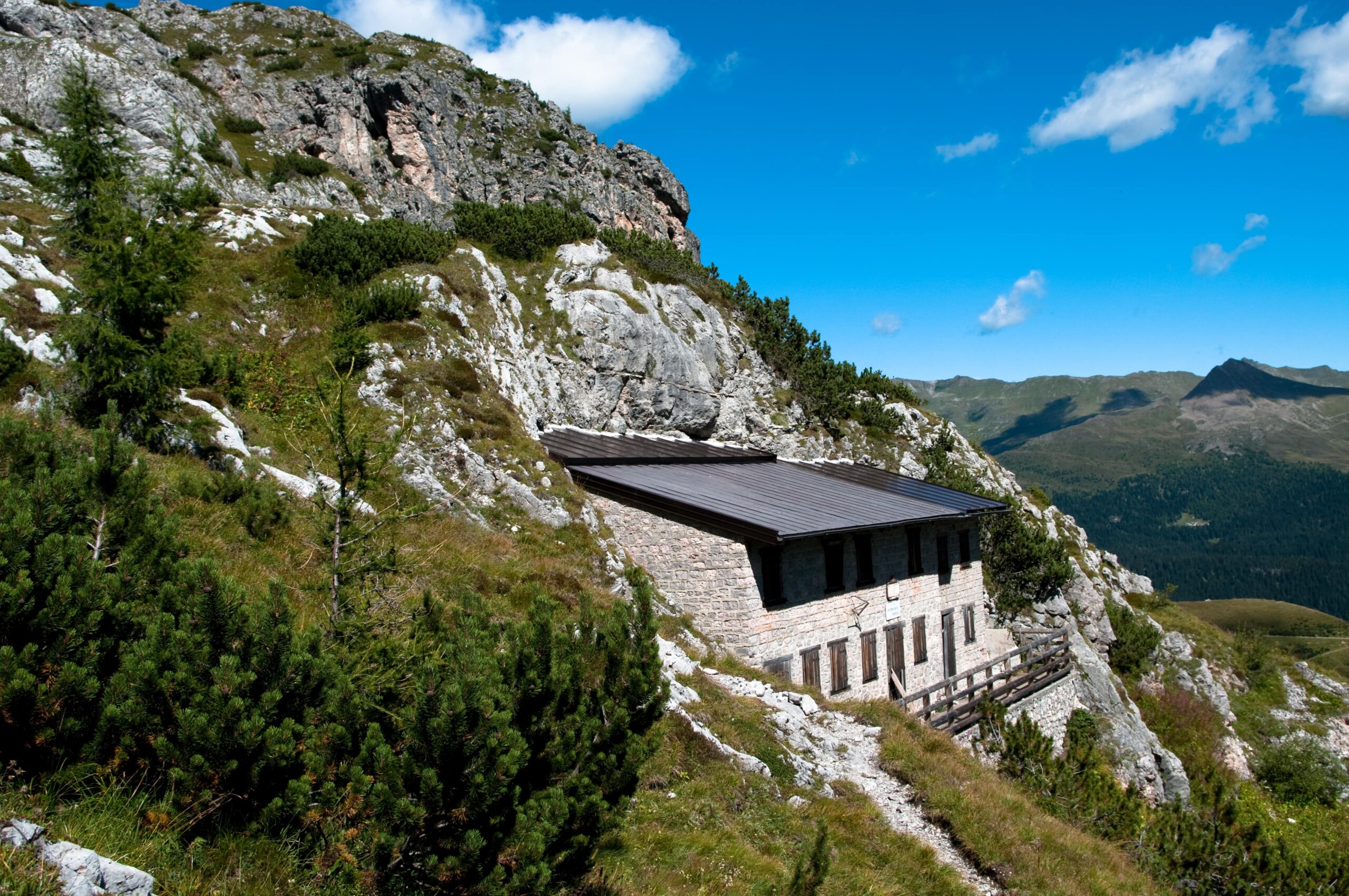
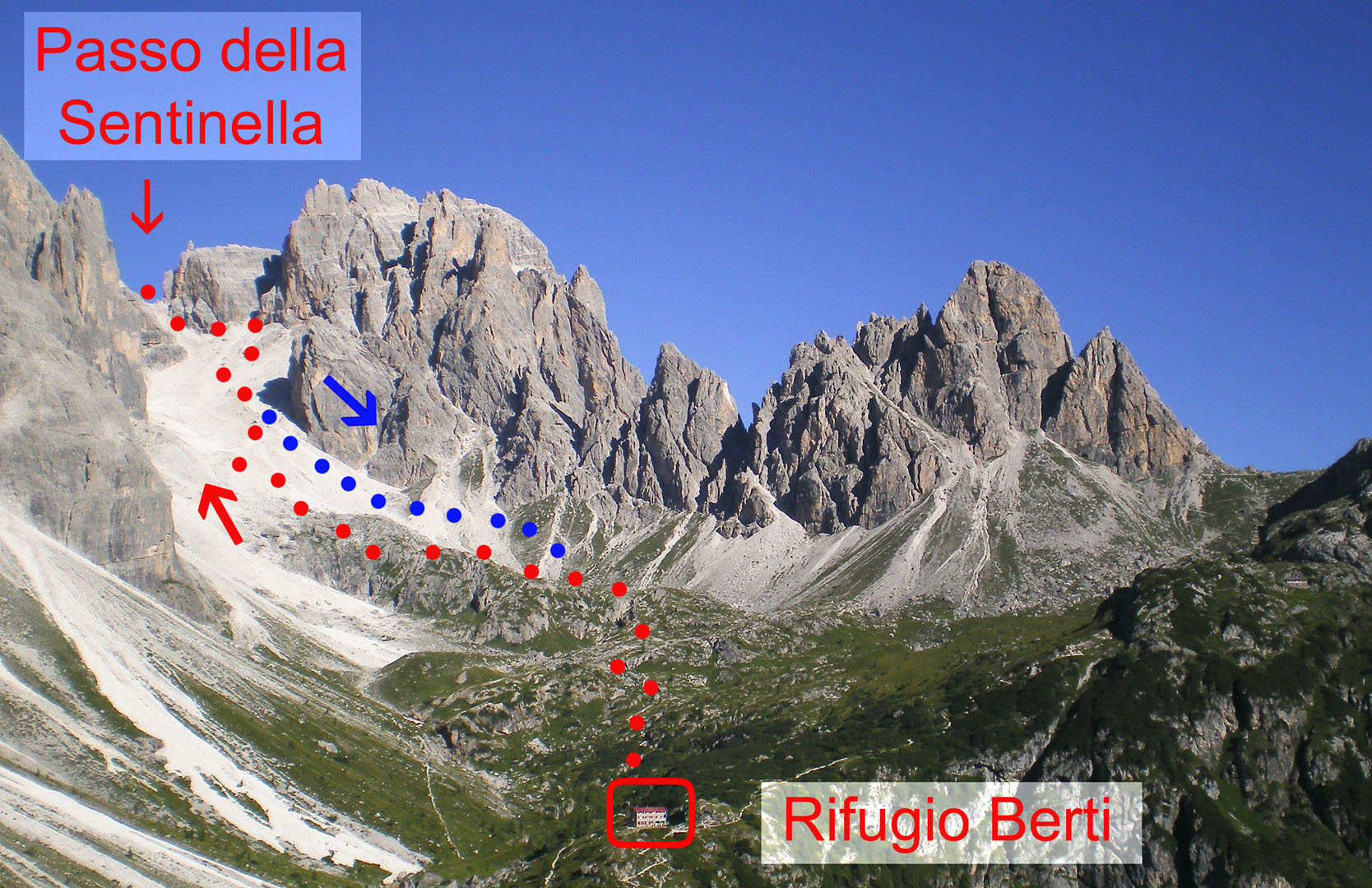
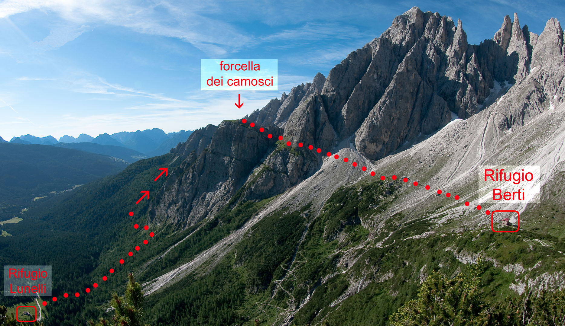
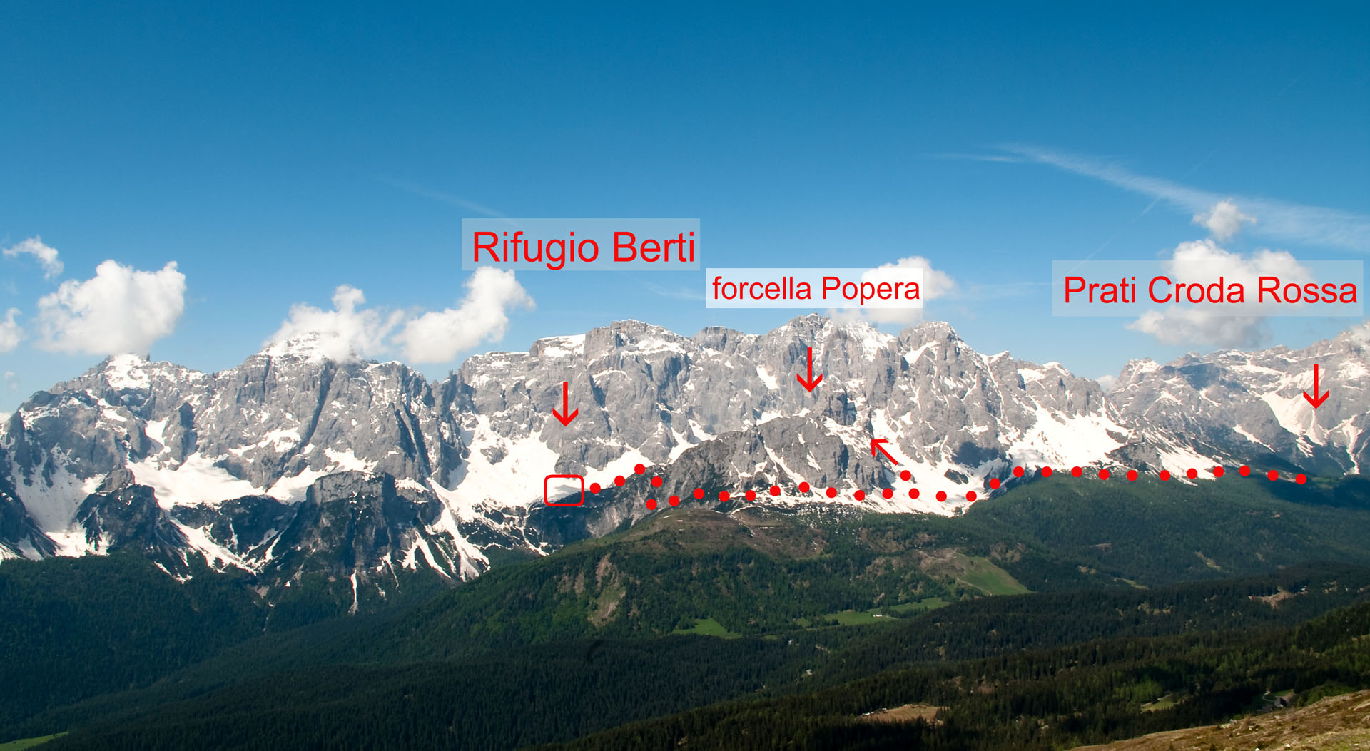
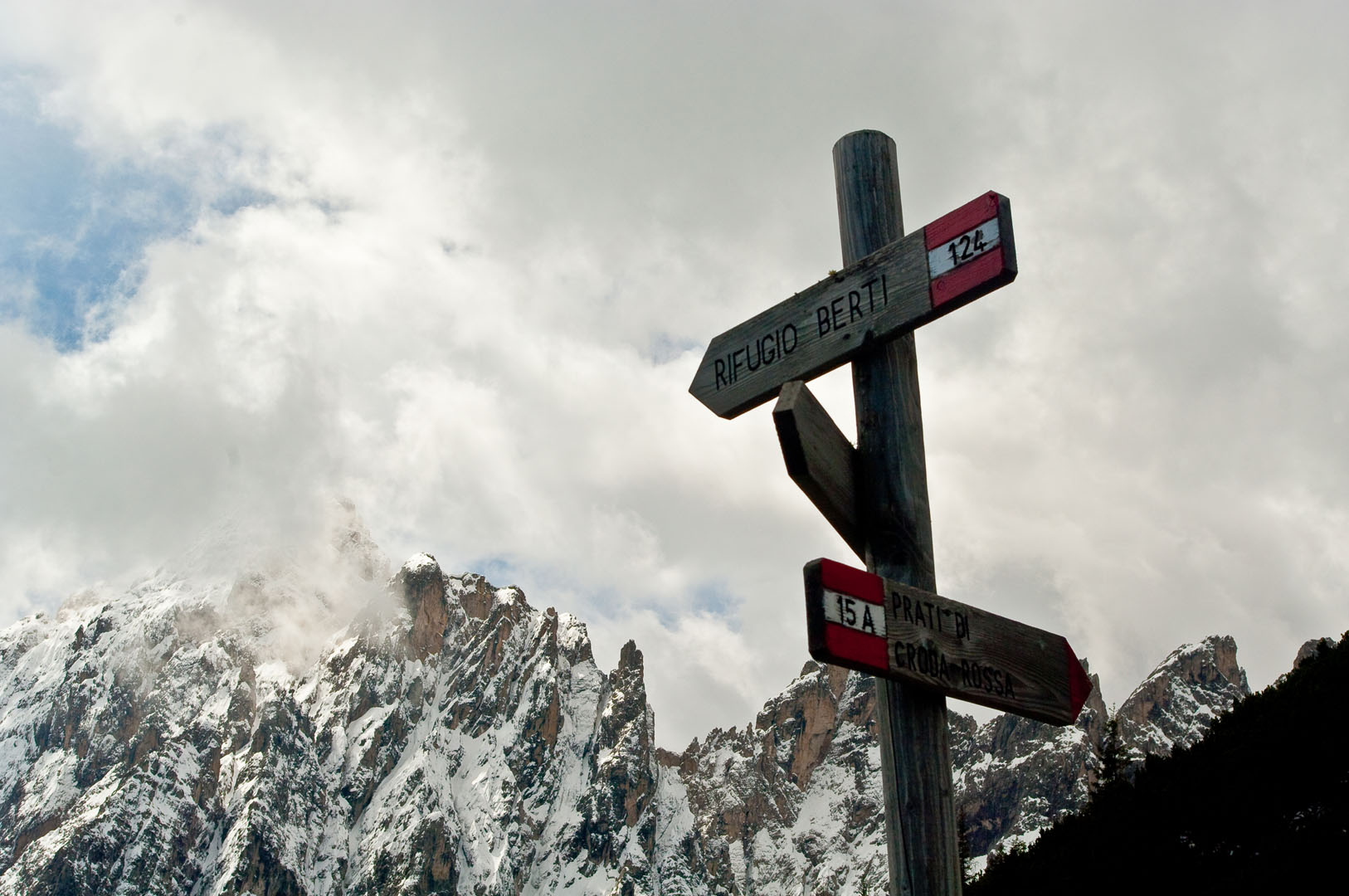
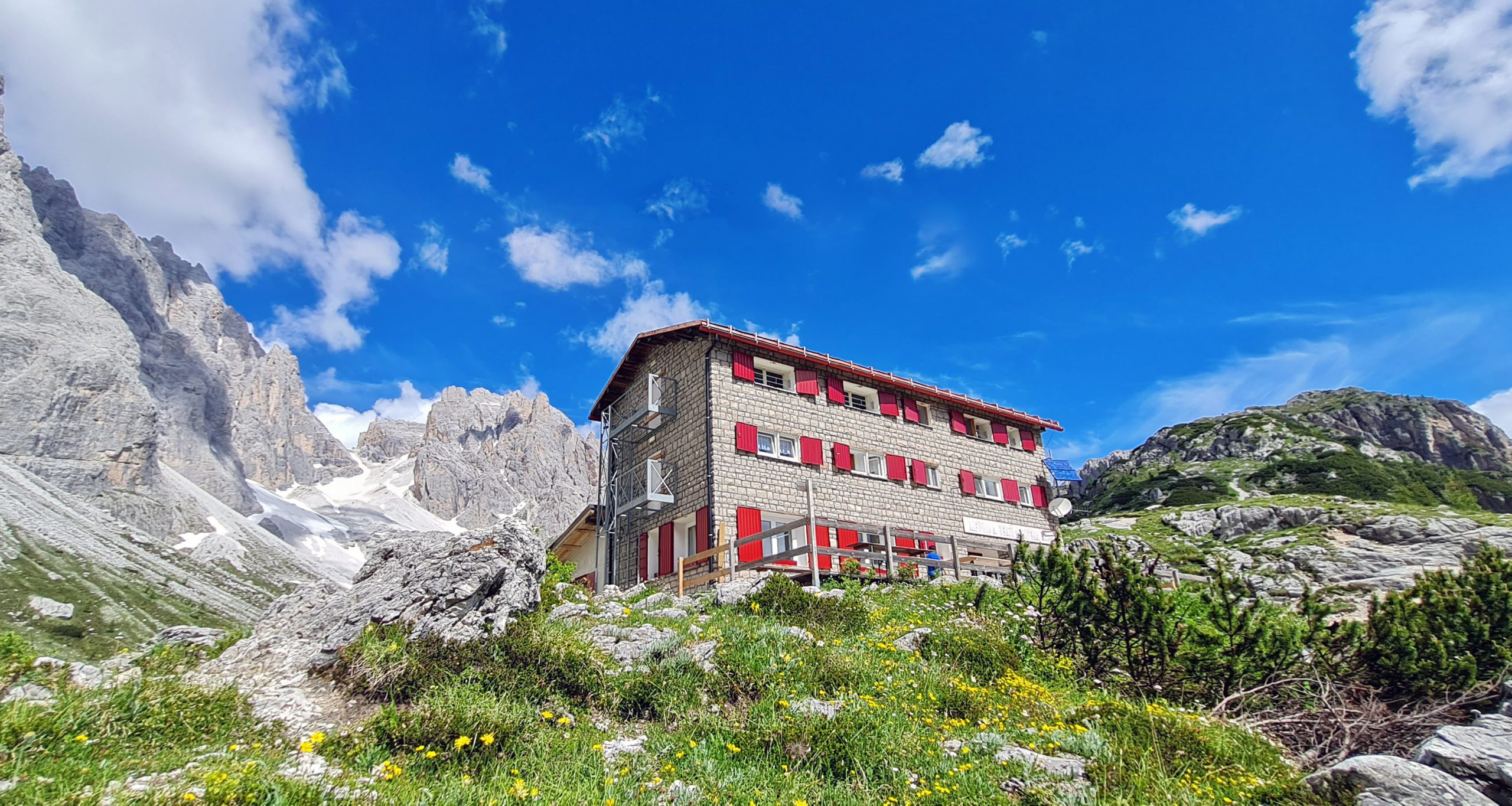
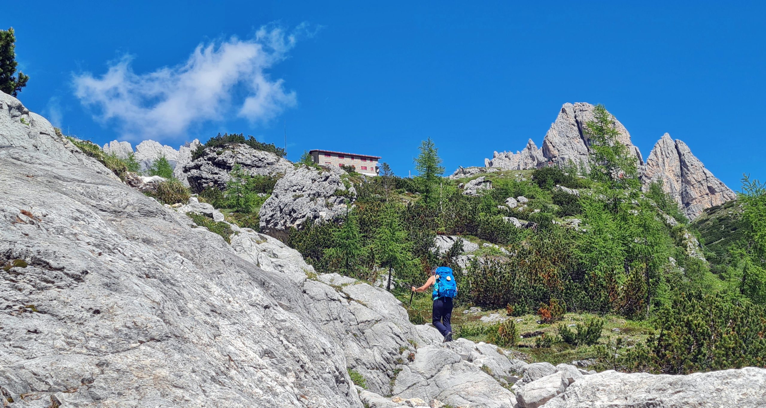
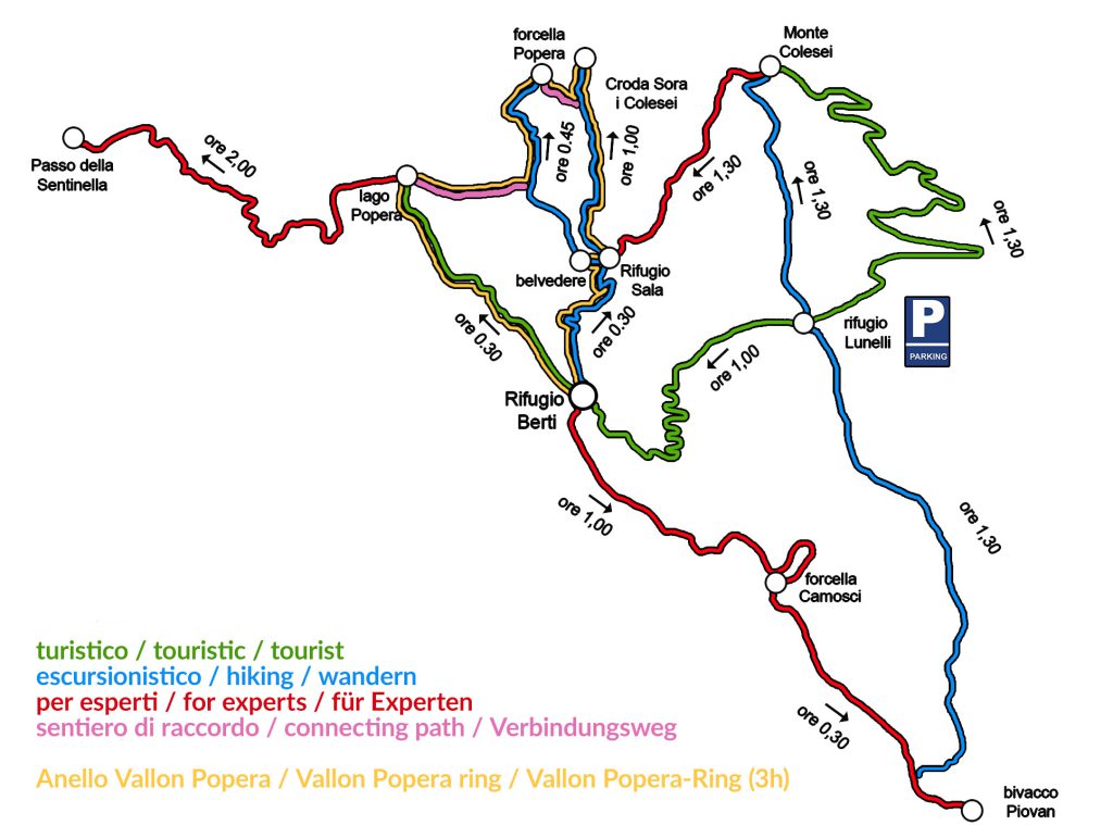
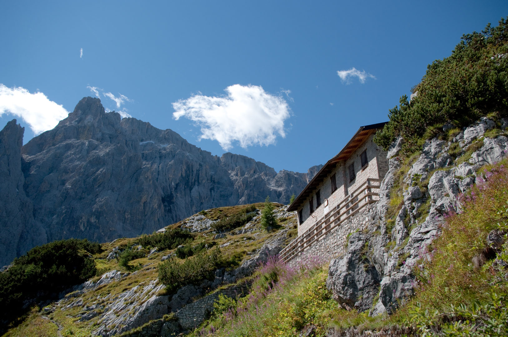
Departure: Berti Hut
Arrival: Berti Hut
Duration: 3.00 hours
Difficulty: Easy
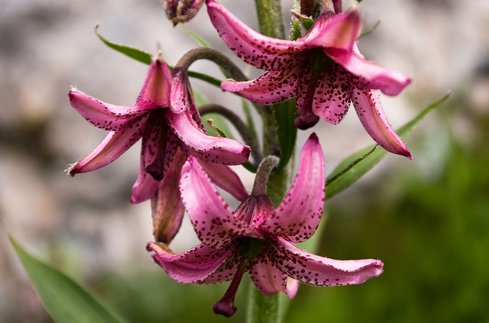
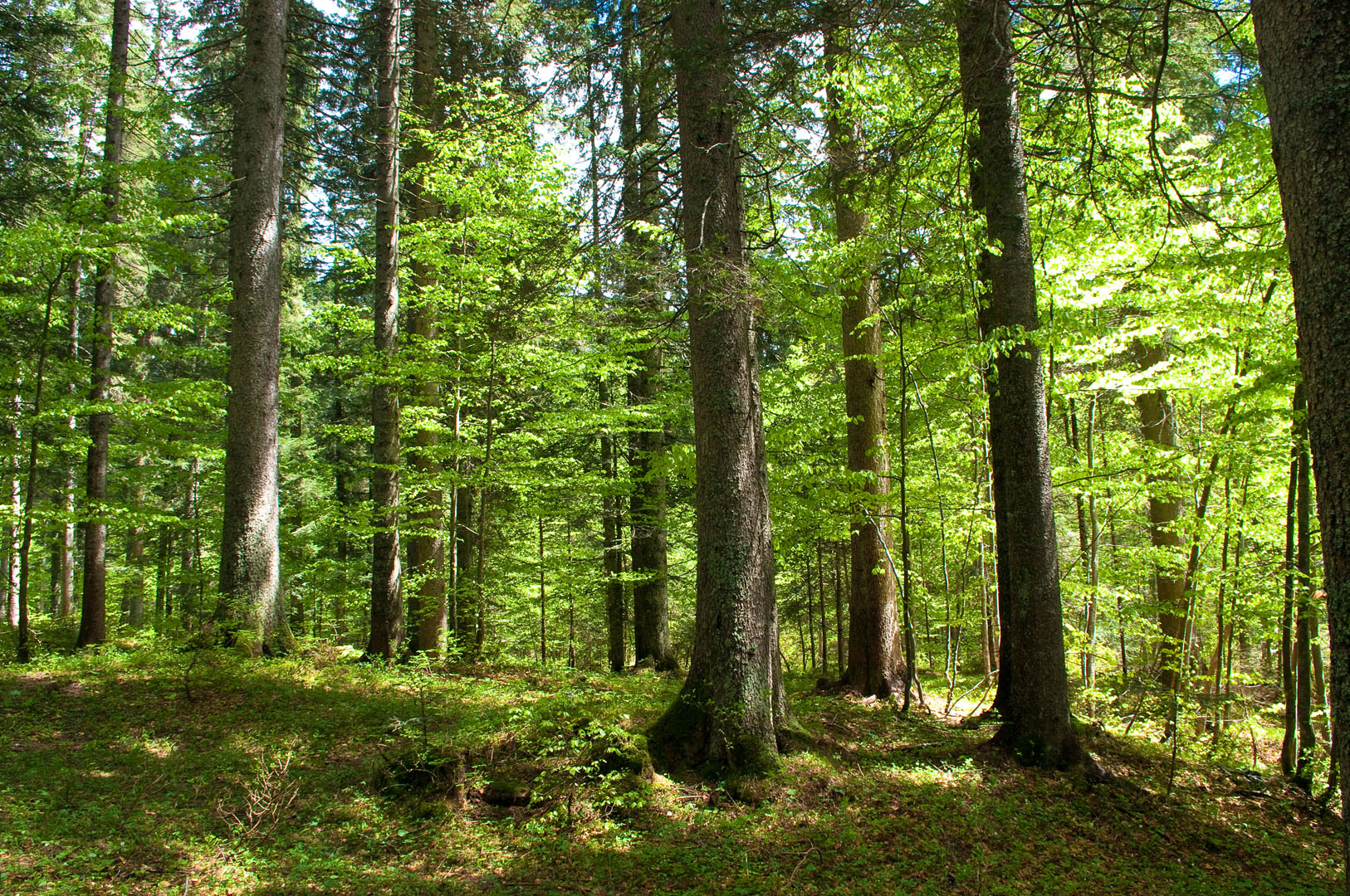
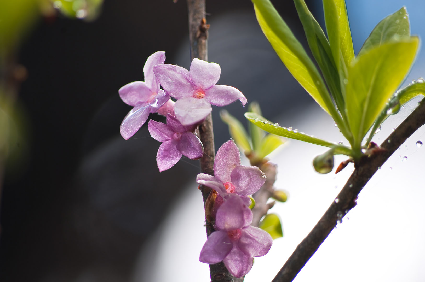
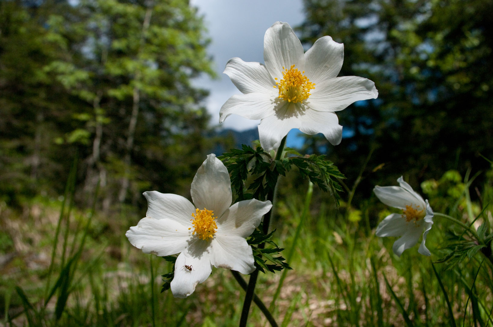
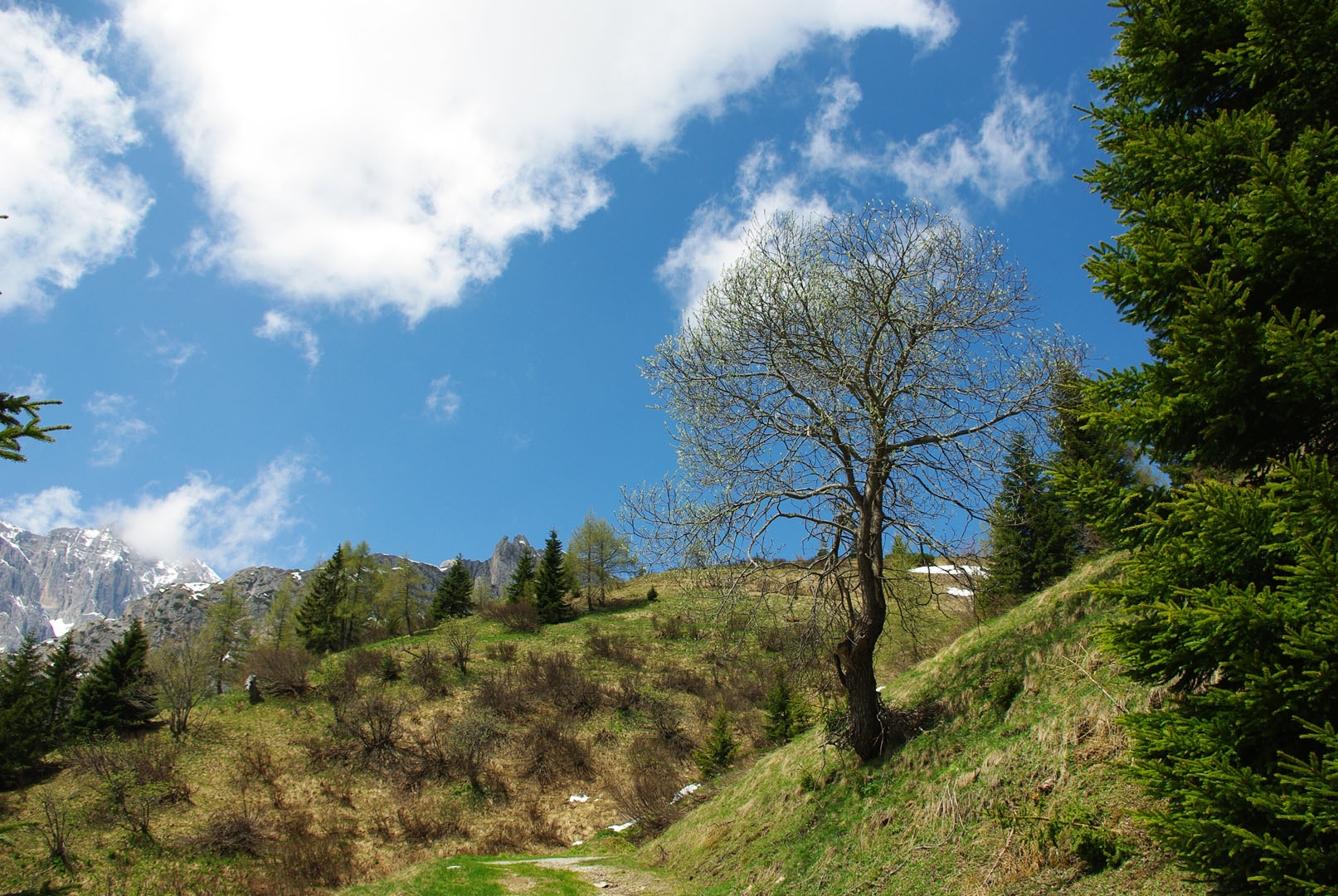
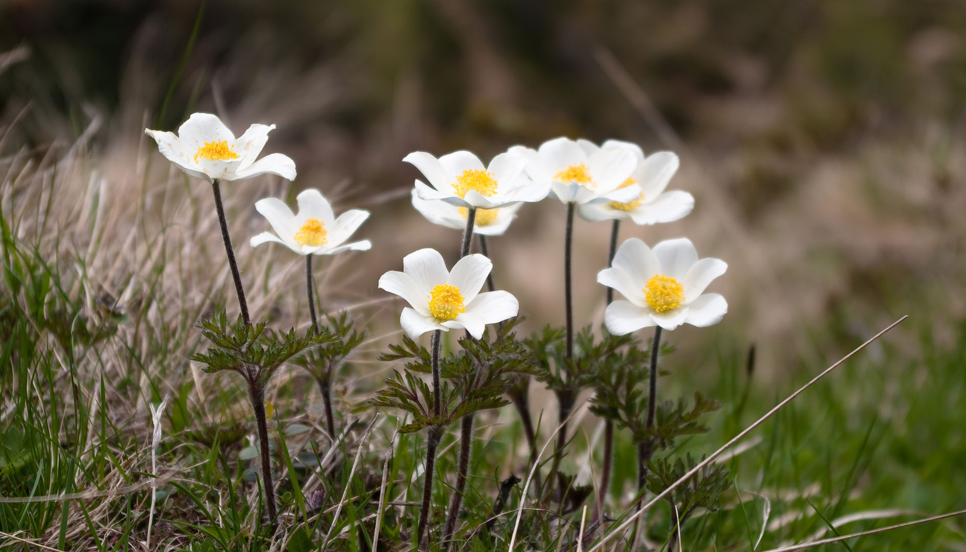
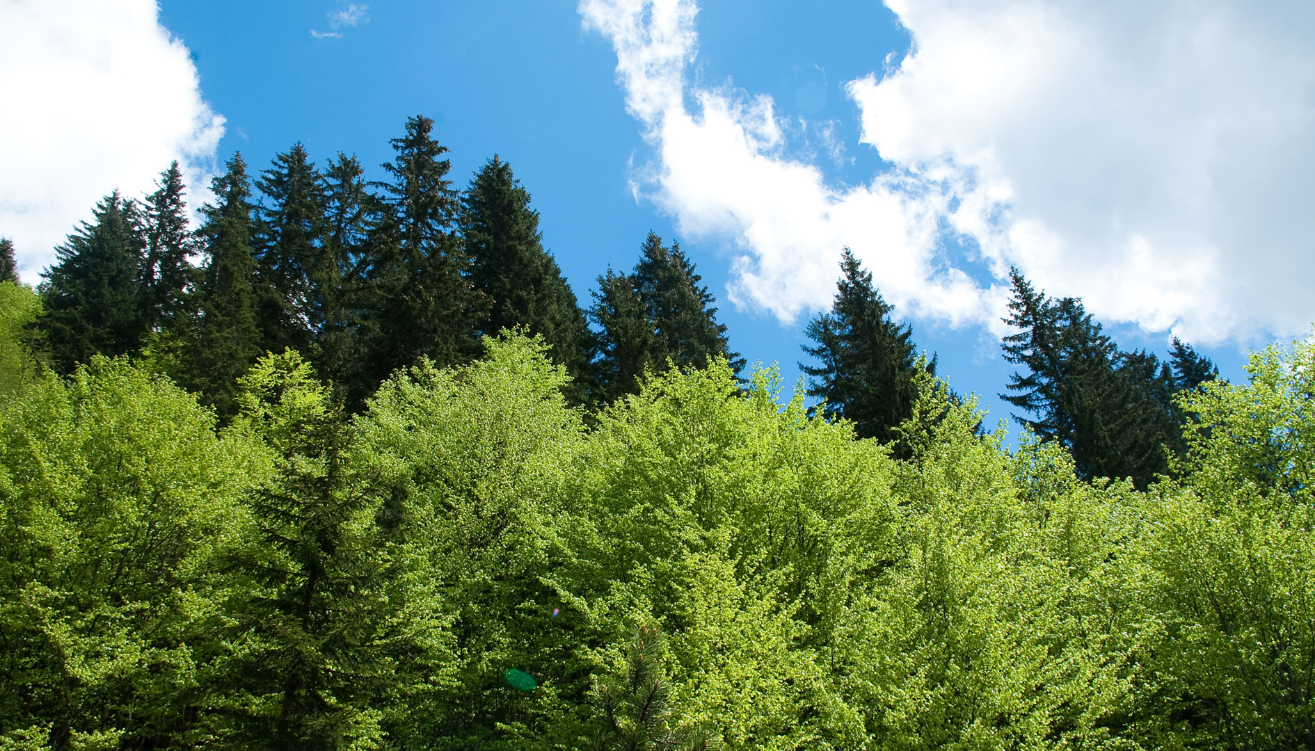
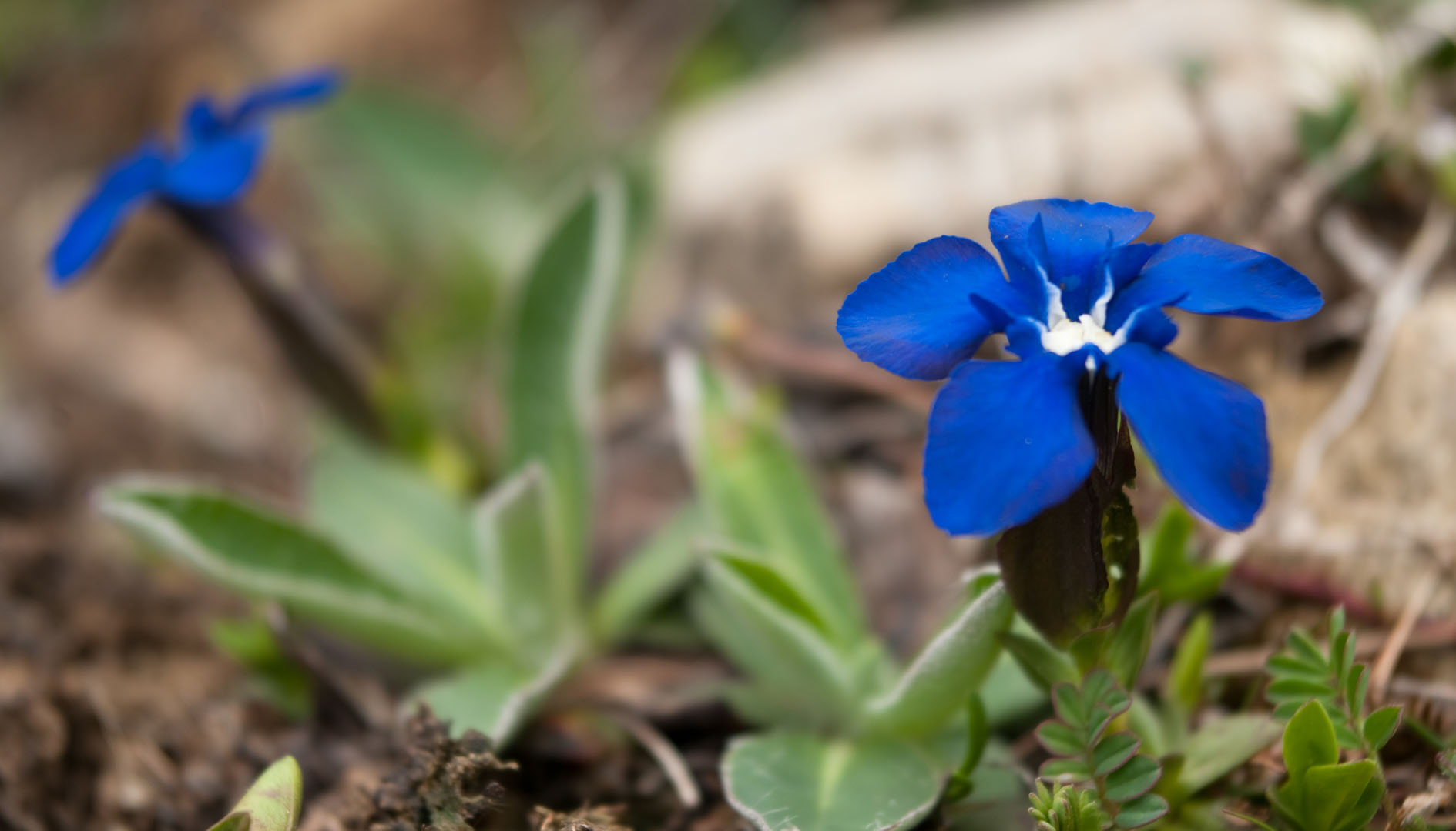
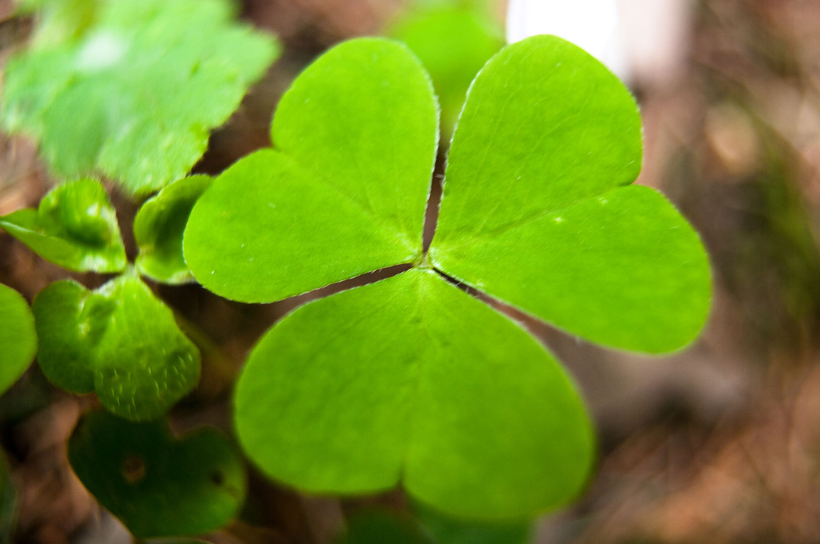
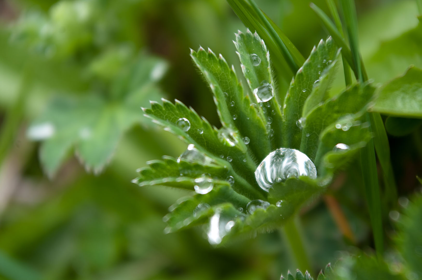
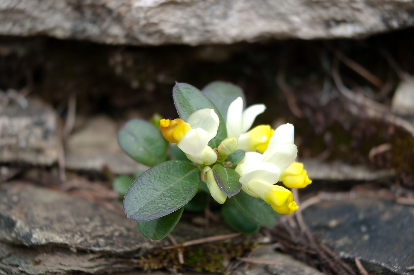
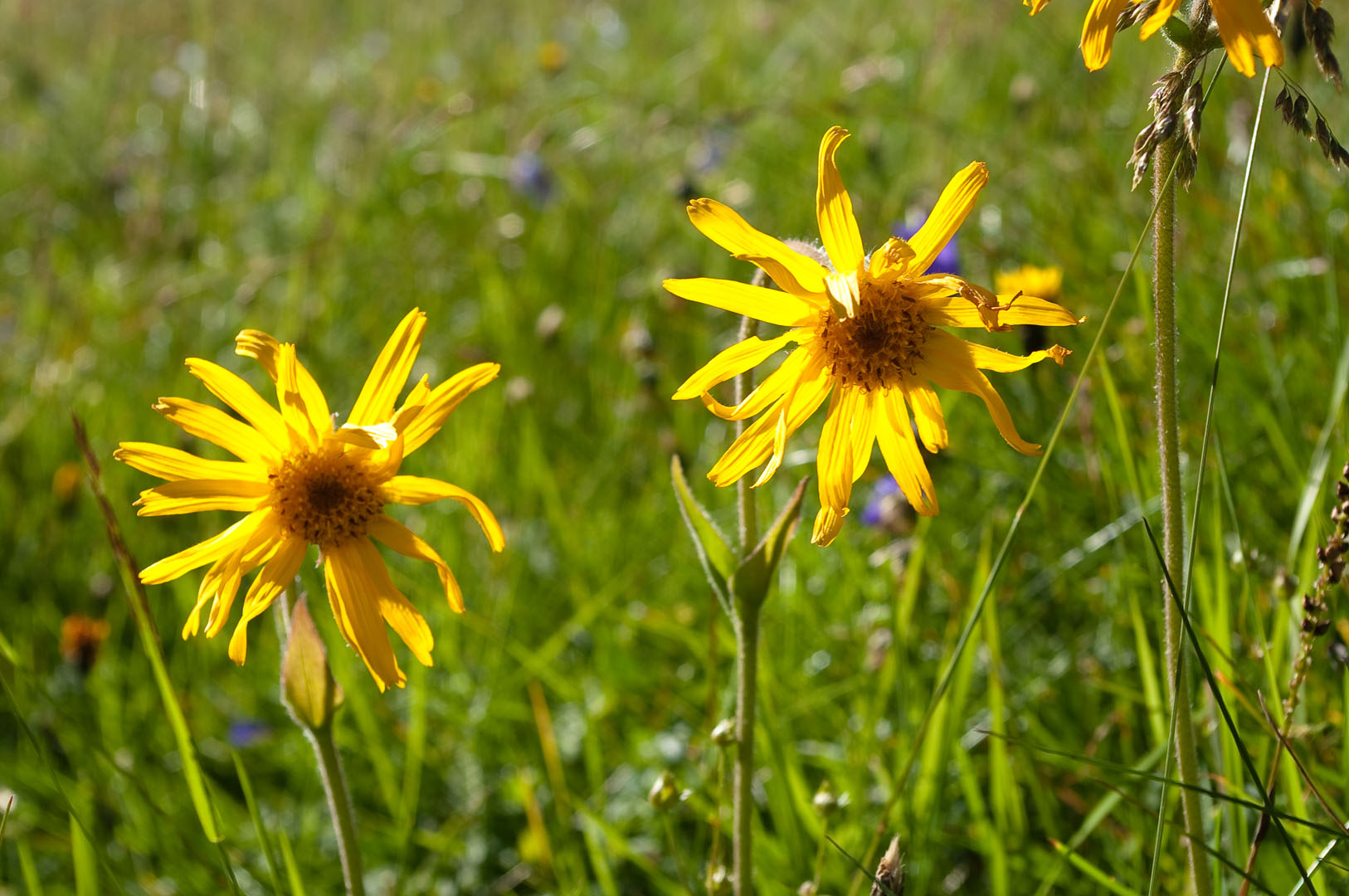
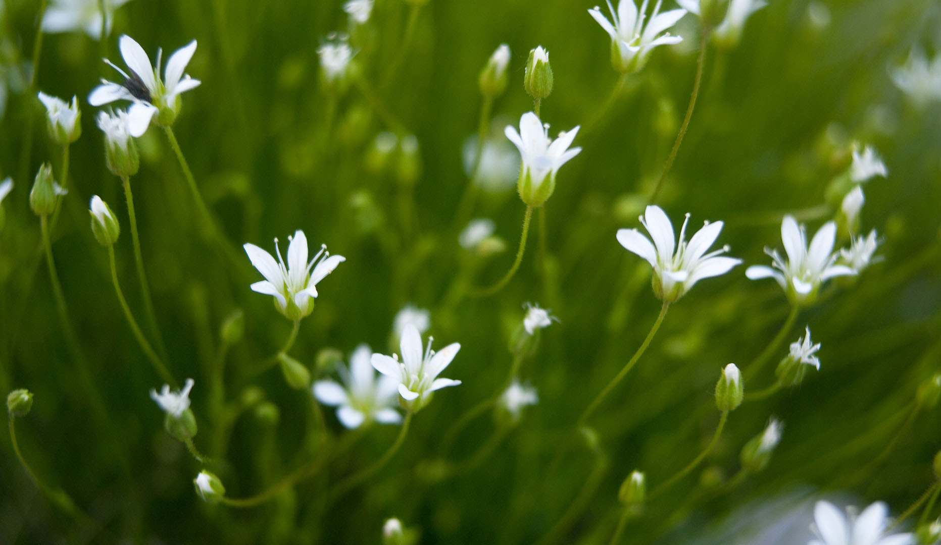
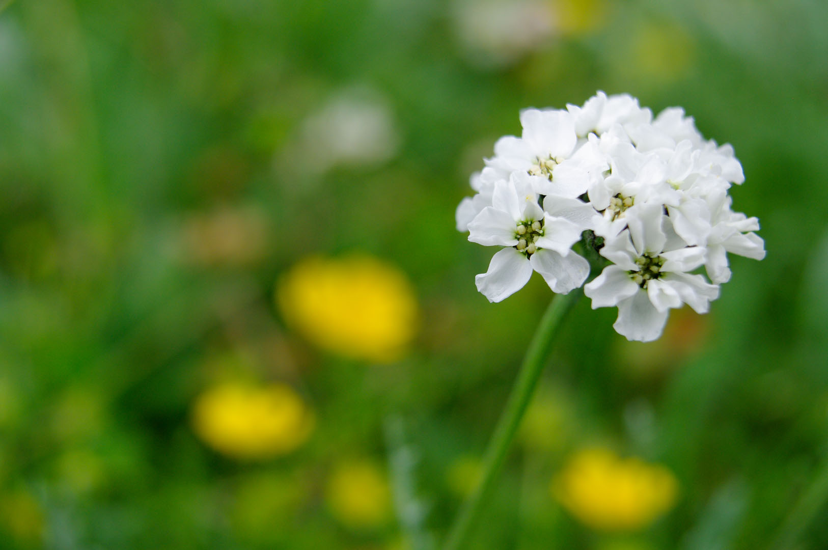
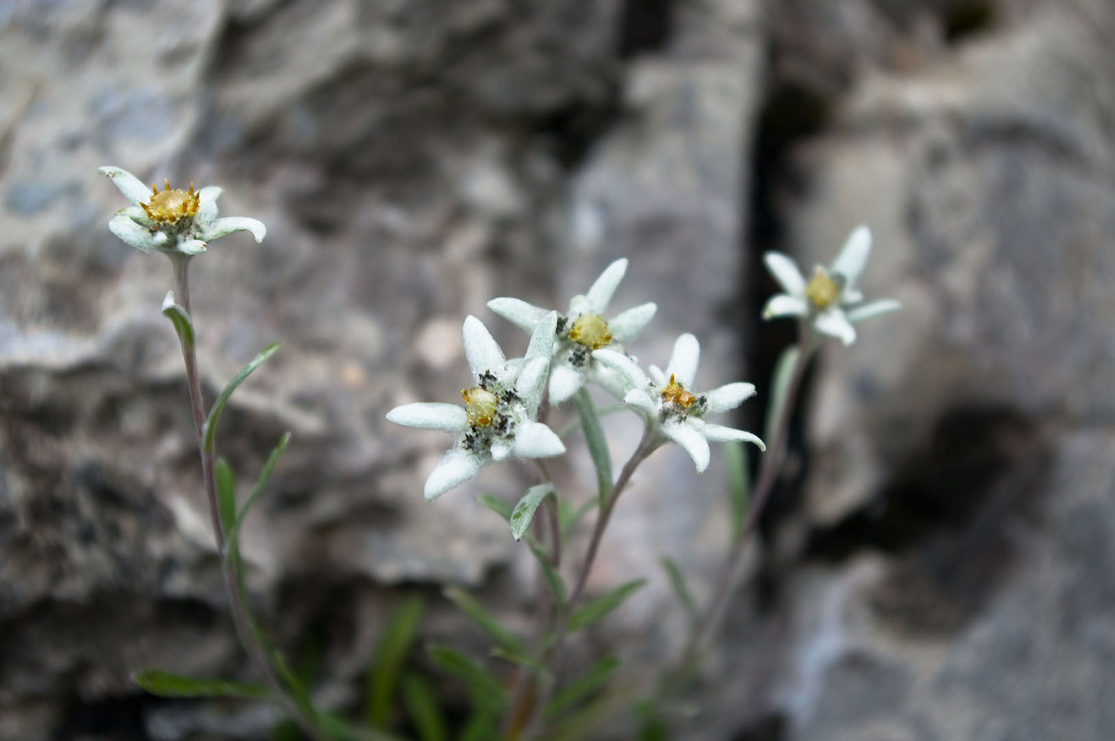
Theme: Visit to the places of the First World War during a naturalistic excursion in the beauty and variety of alpine flowering
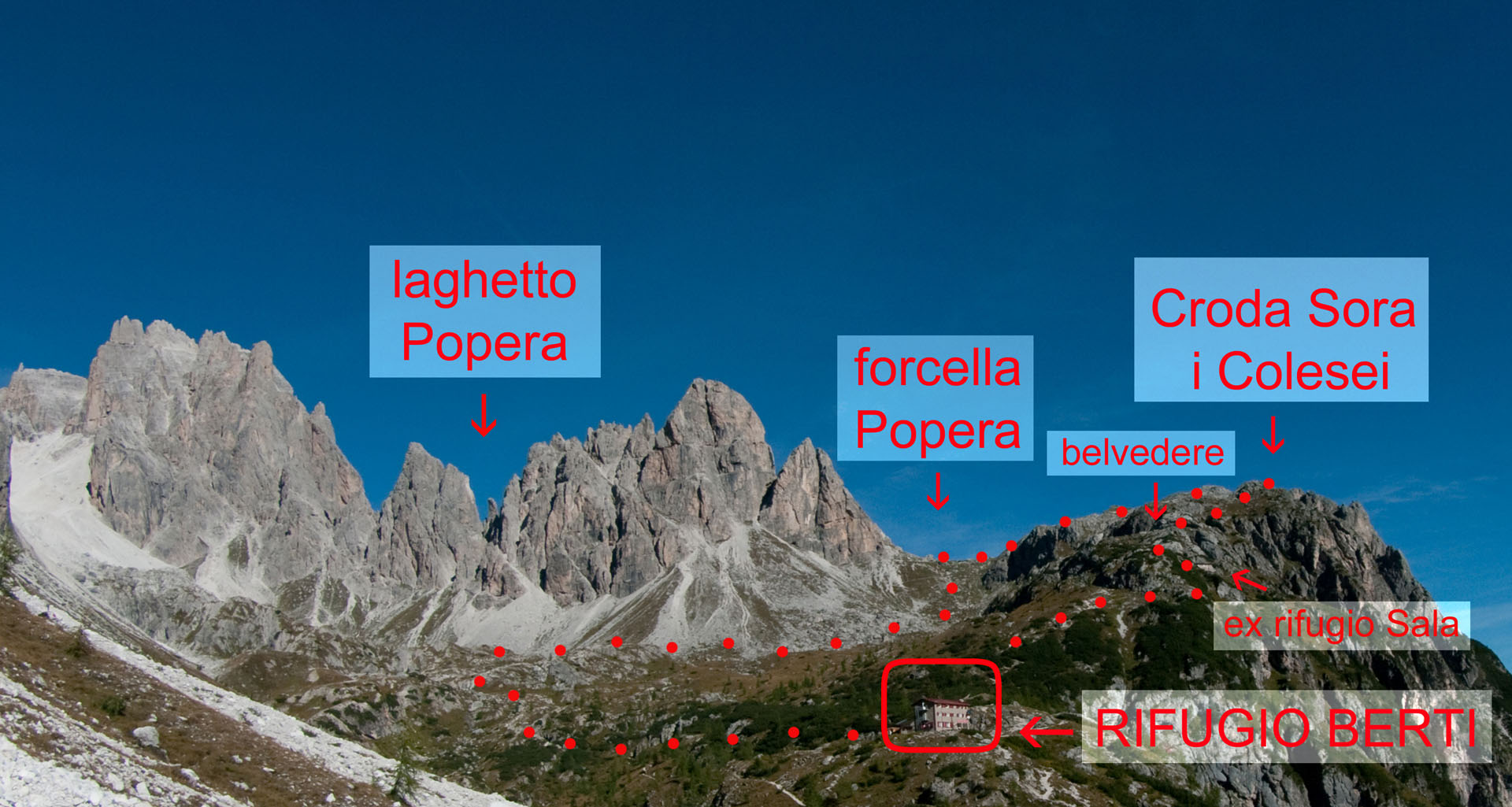
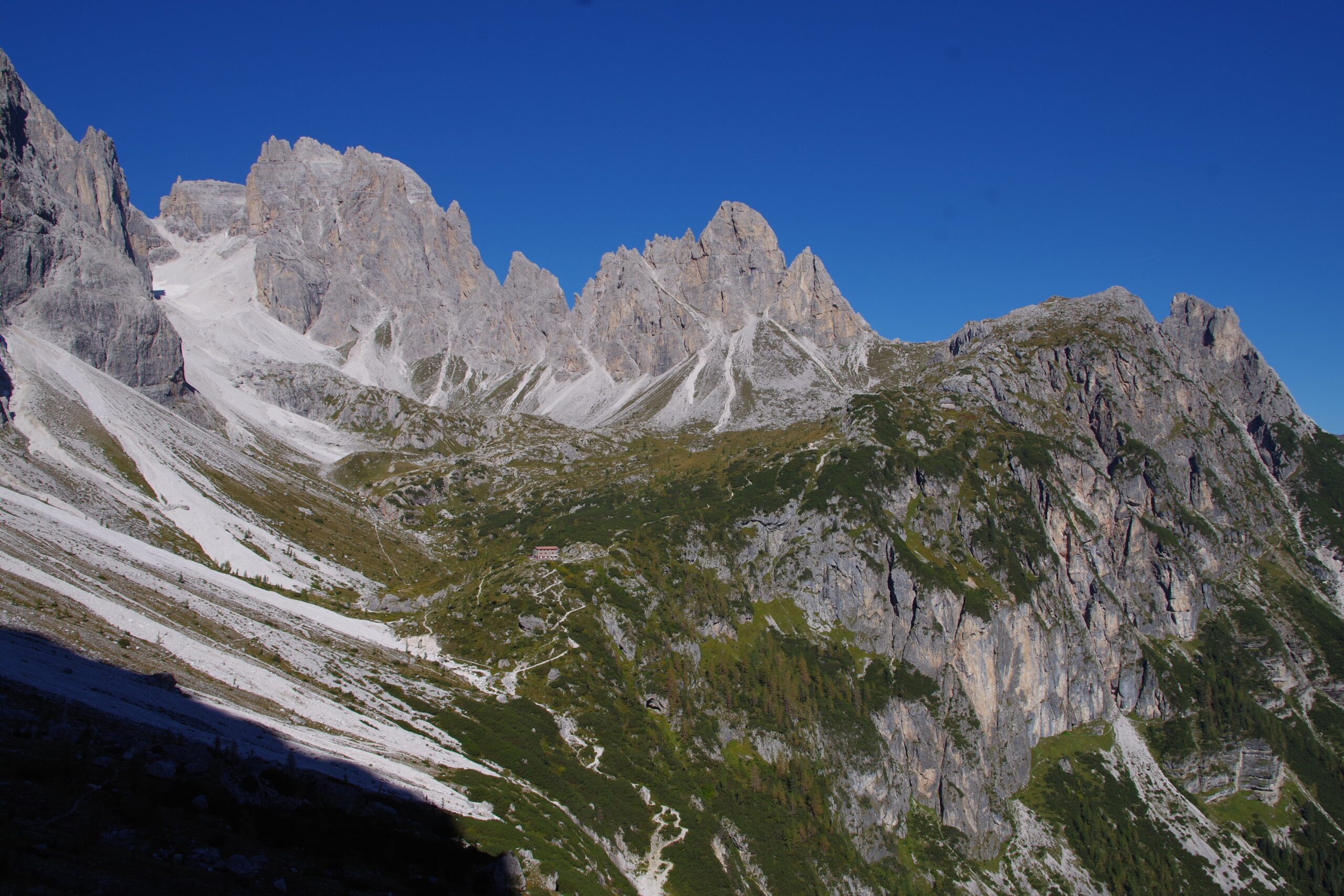
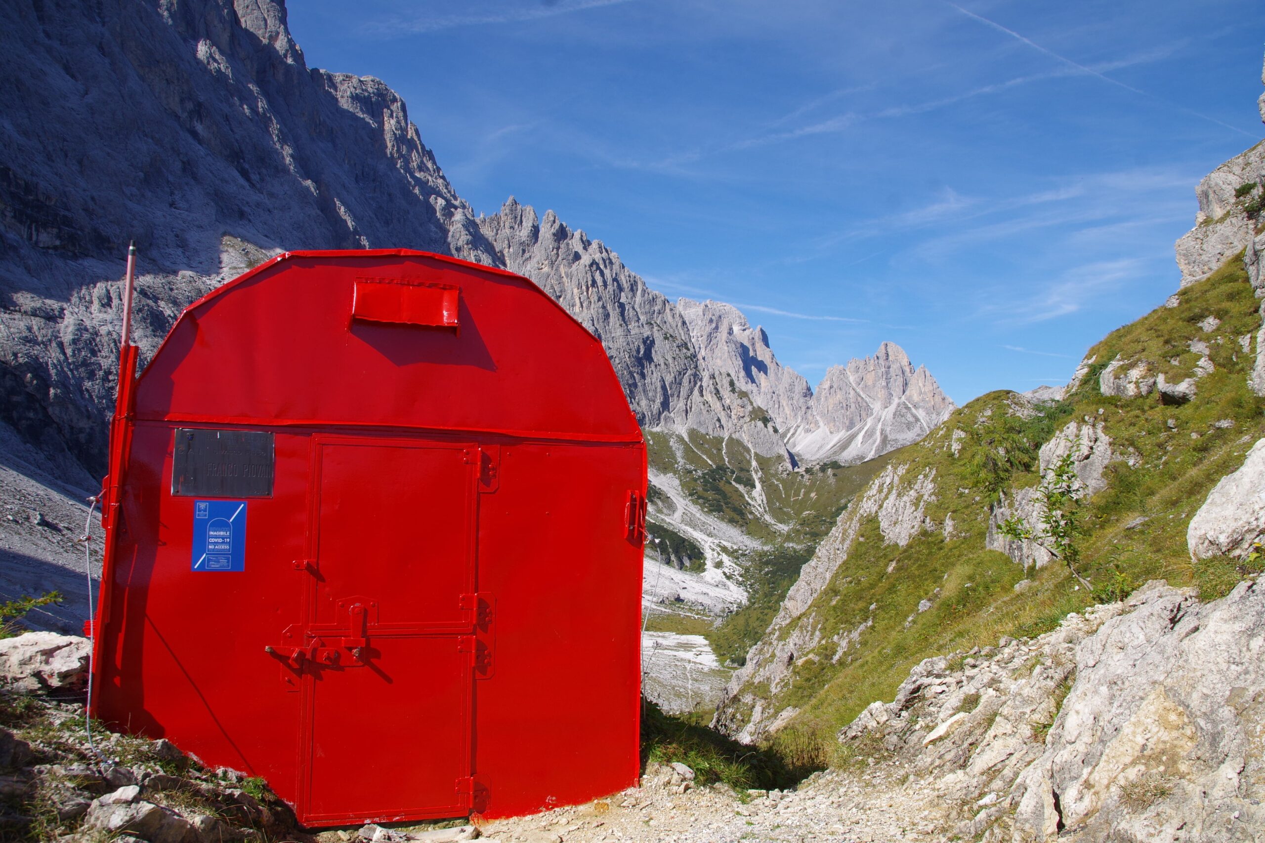
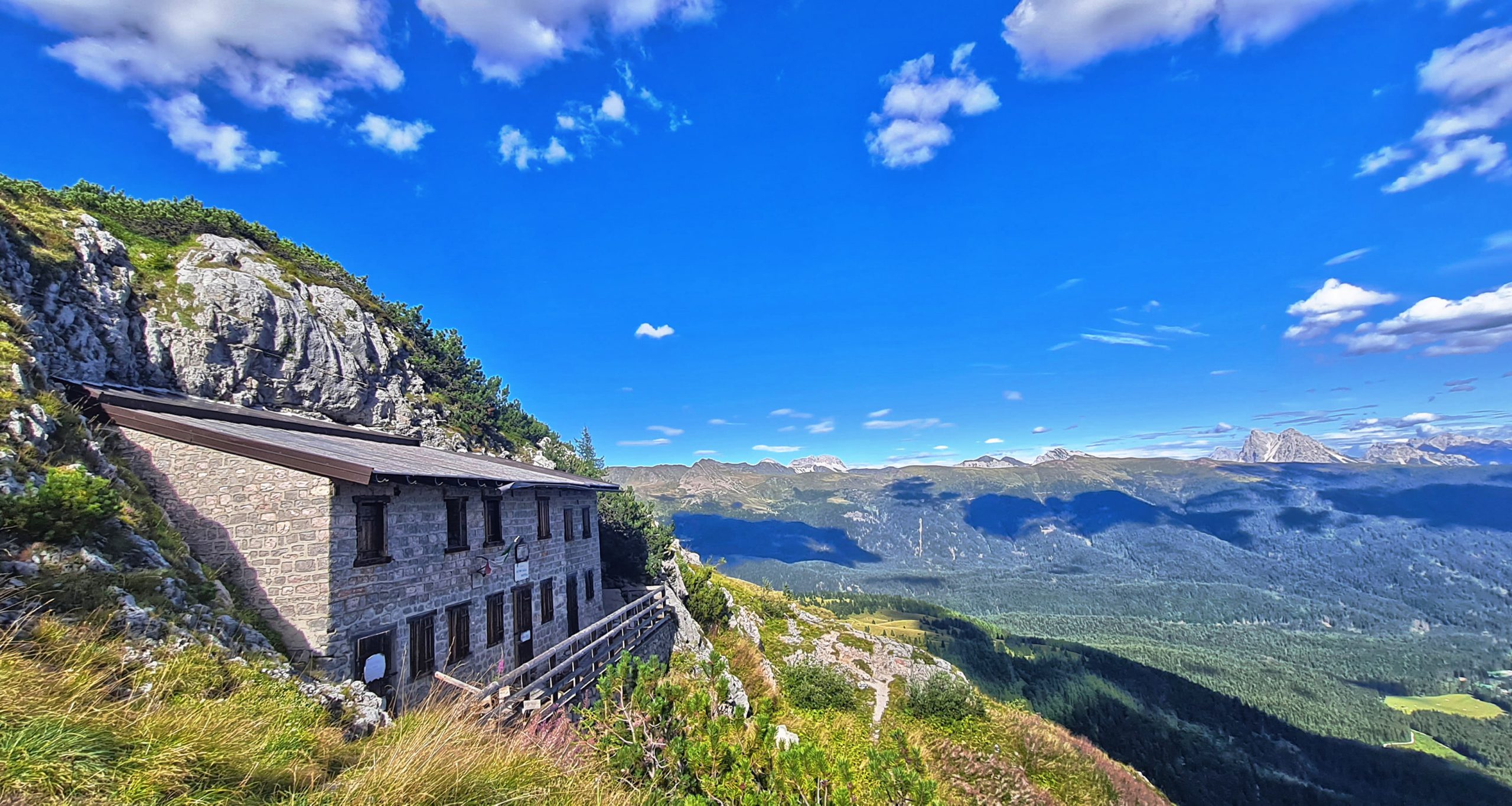
Start from the Berti Hut(1950m) following path 122 to the former Olivo Sala Hut (2094m), command of the troops of Vallon Popera during the First World War (30 minutes).
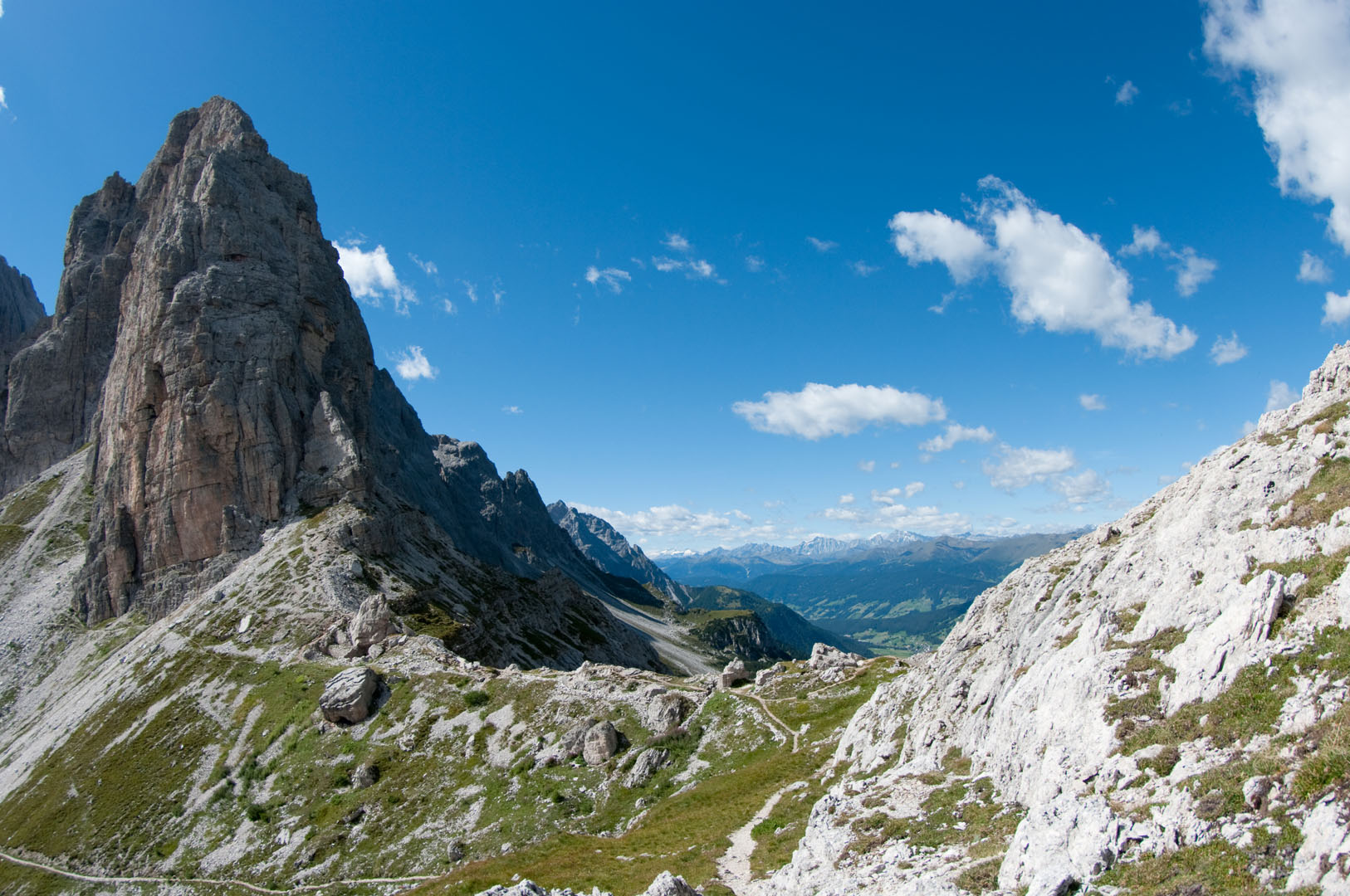
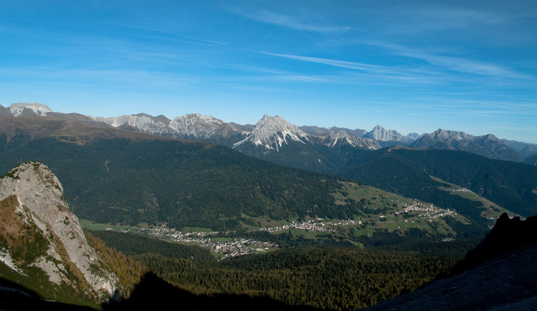
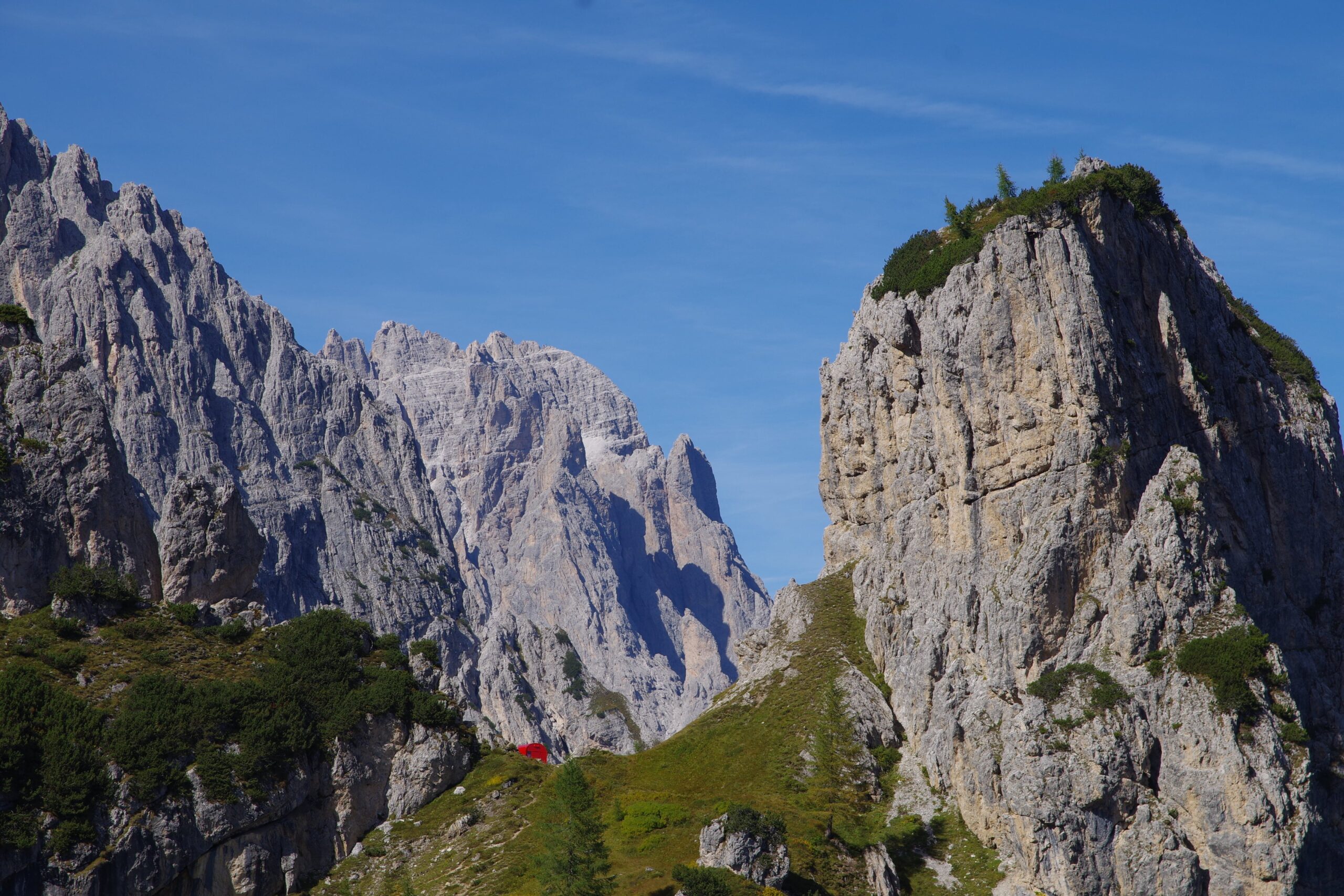
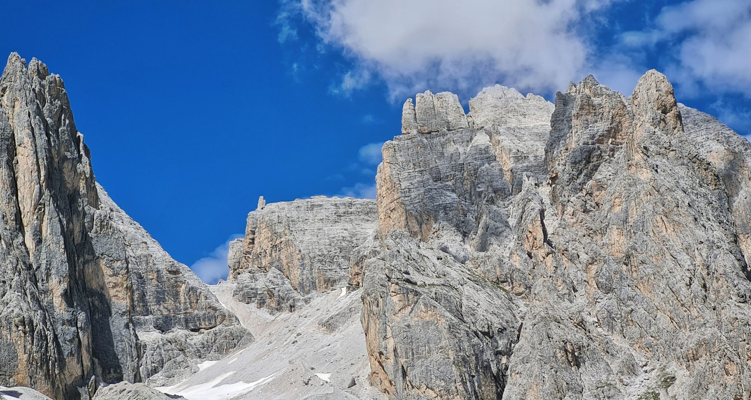
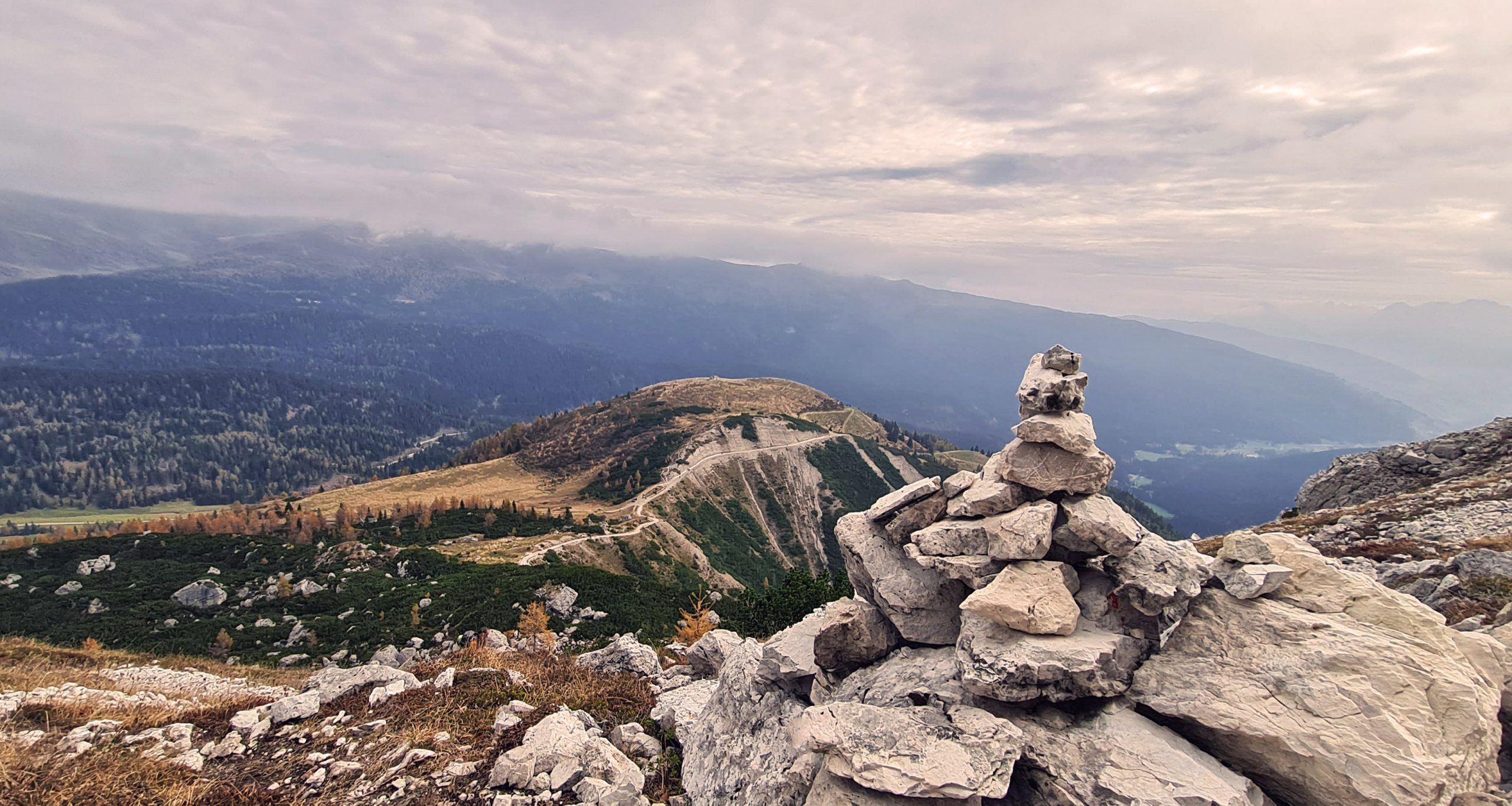
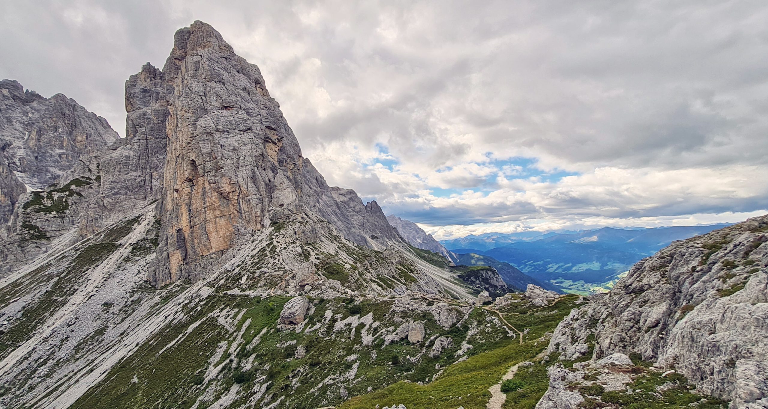
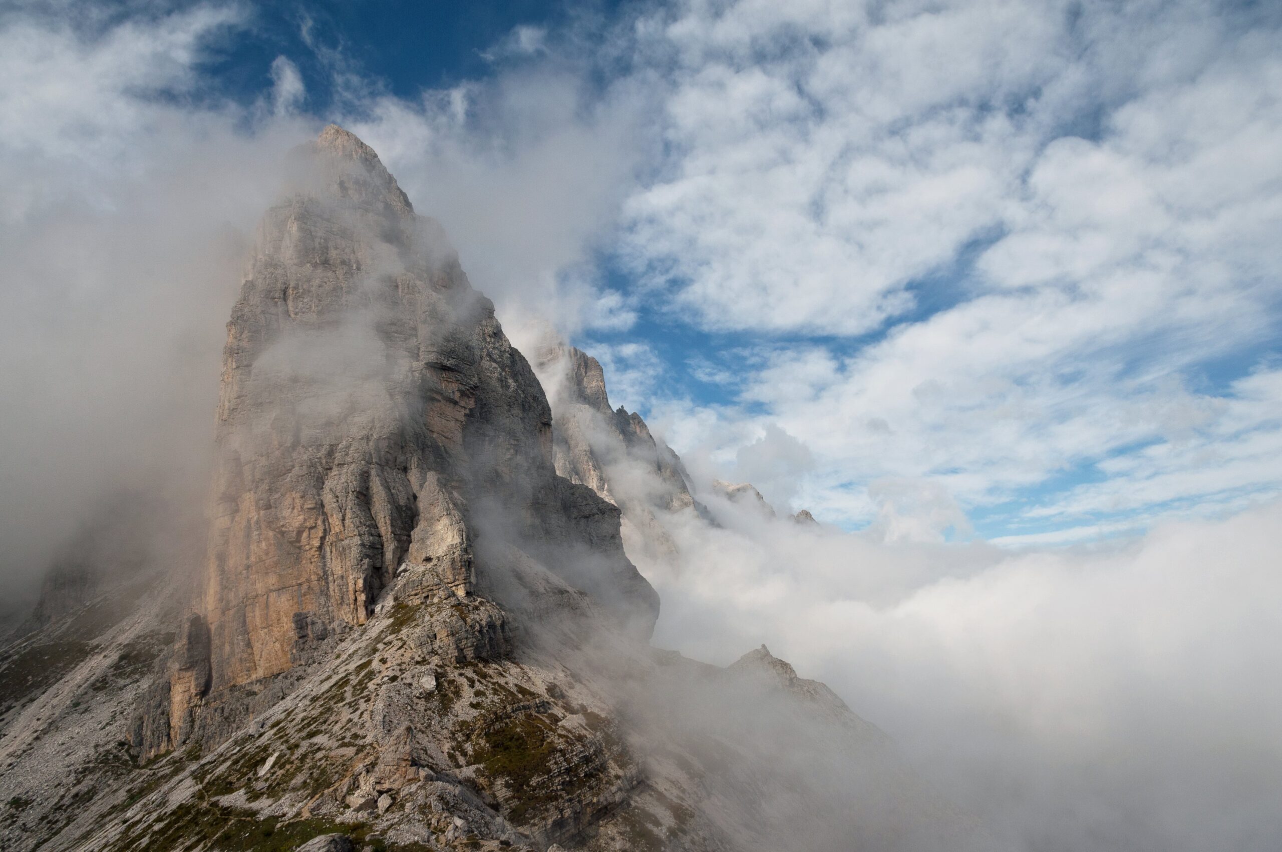
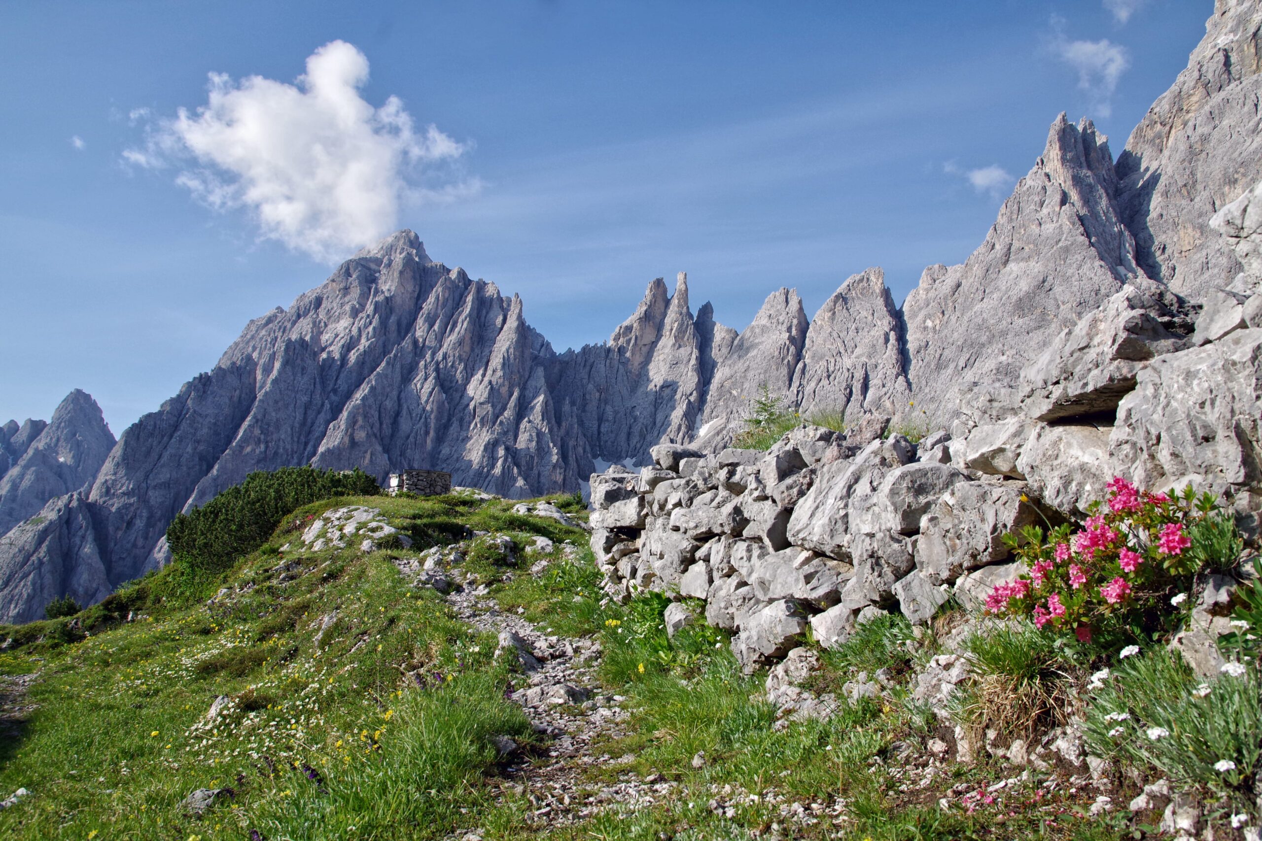
Here continue left along the path adapted by GSA Alpini del Montello (trail sign 122 e ![]() ) to the Belvedere, a panoramic point of the valley, where you can admire the Campanili di Popera, Monte Popera, Passo della Sentinella, the Croda Rossa, the Pala and the Triangolo di Popera (5 minutes).
) to the Belvedere, a panoramic point of the valley, where you can admire the Campanili di Popera, Monte Popera, Passo della Sentinella, the Croda Rossa, the Pala and the Triangolo di Popera (5 minutes).
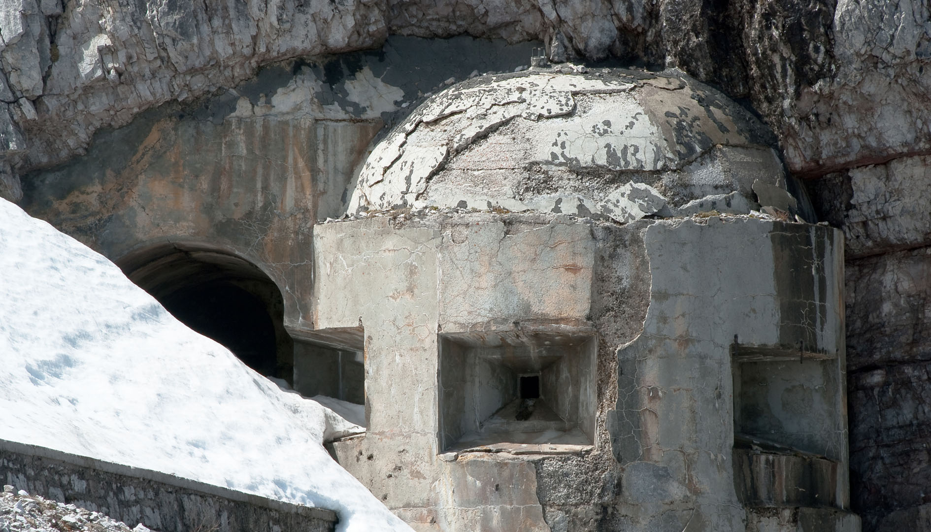
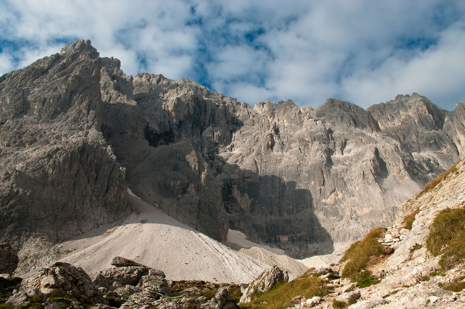
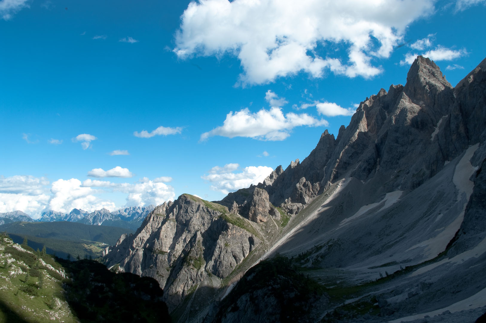
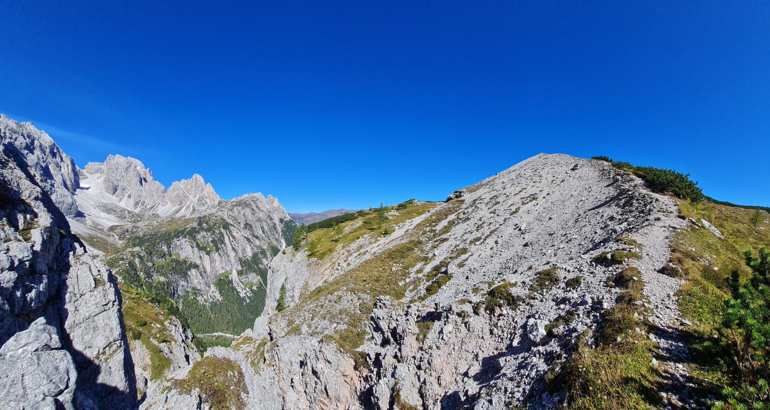
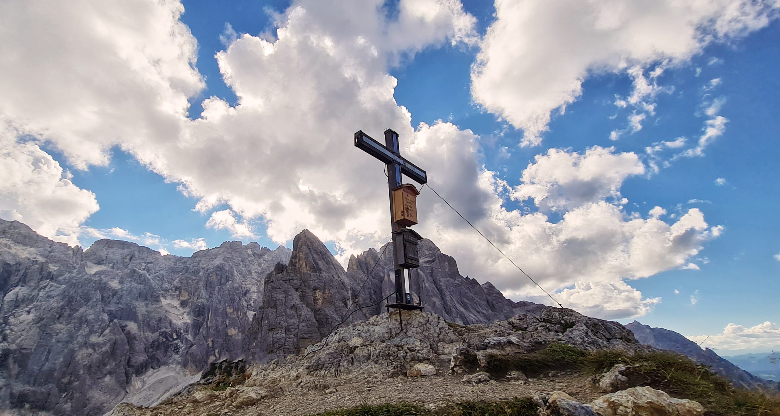
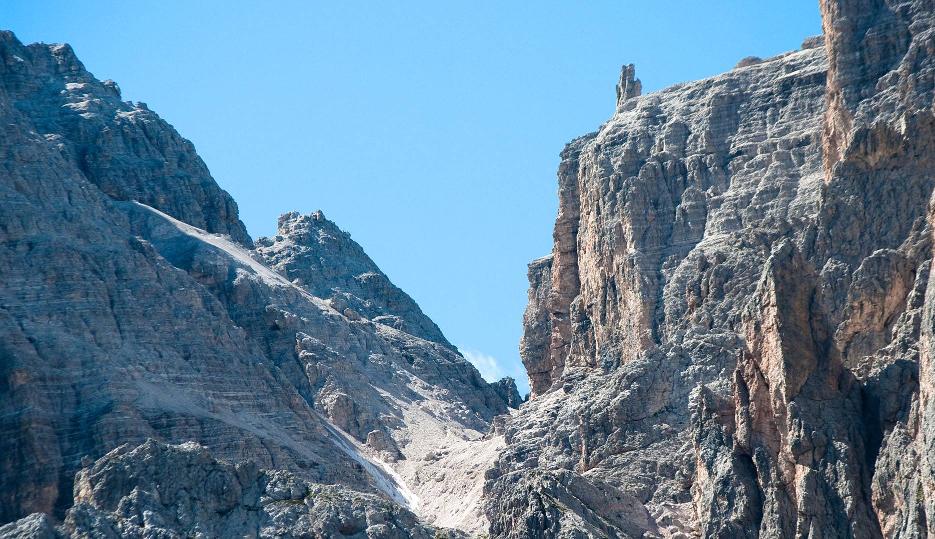
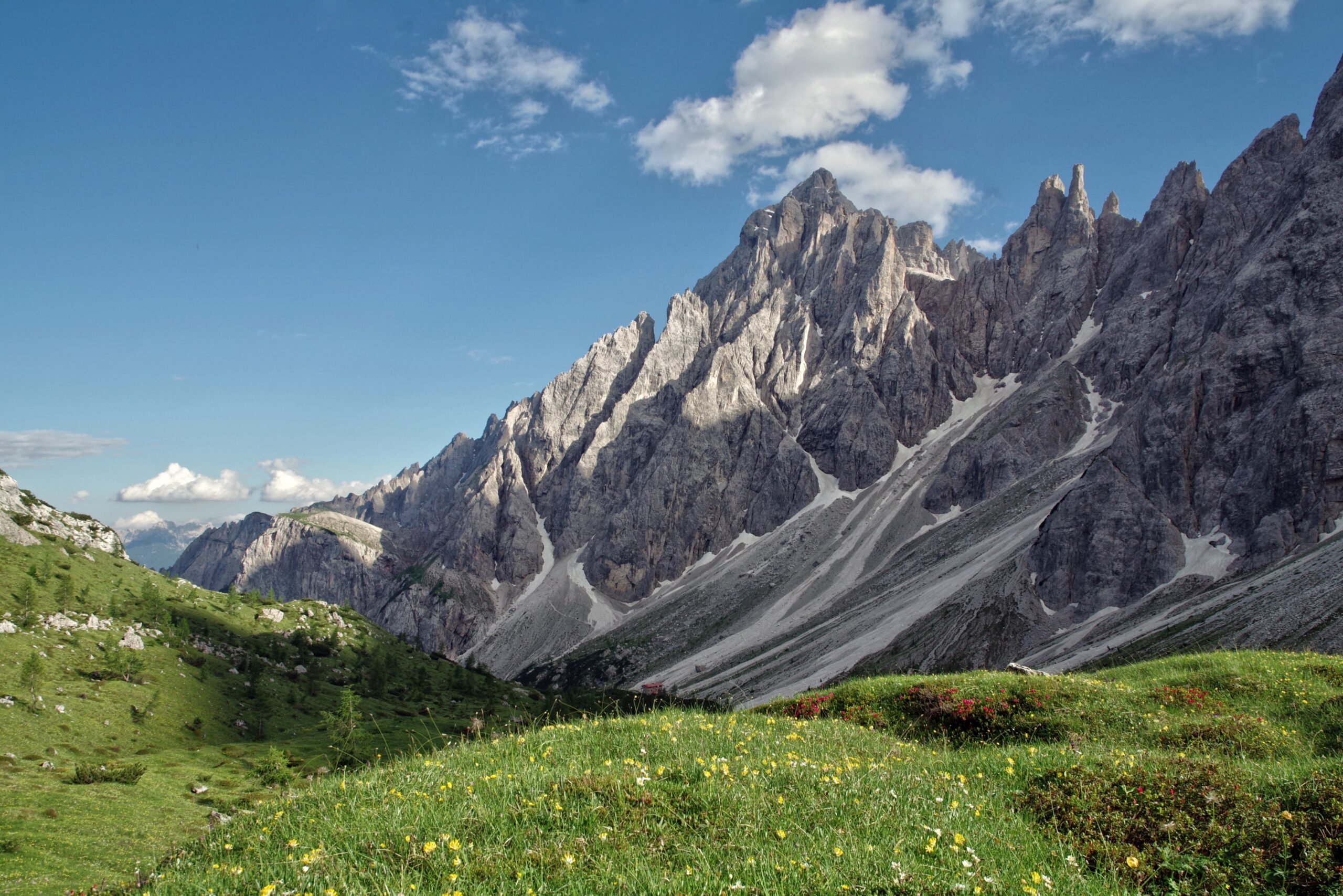
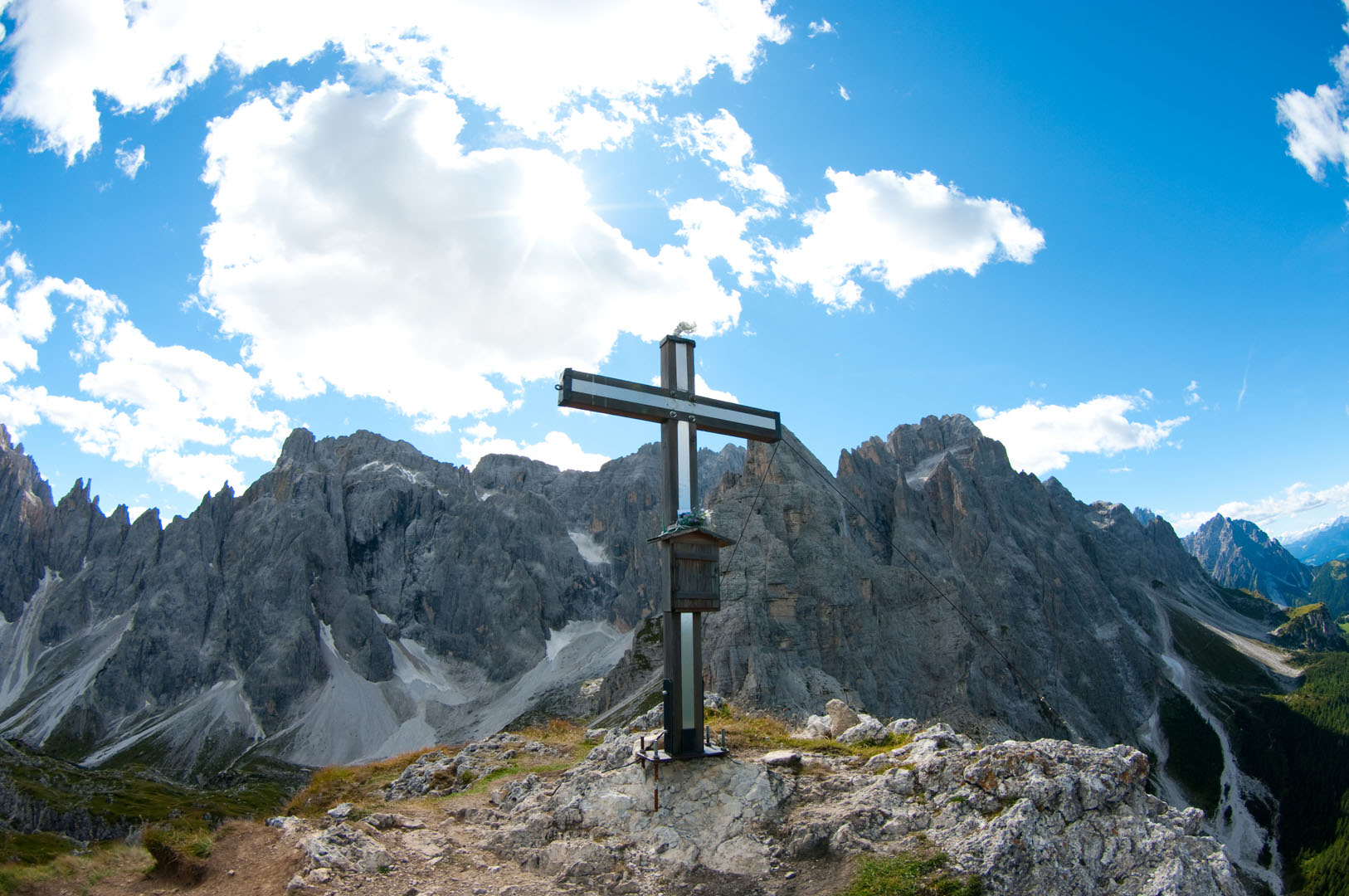
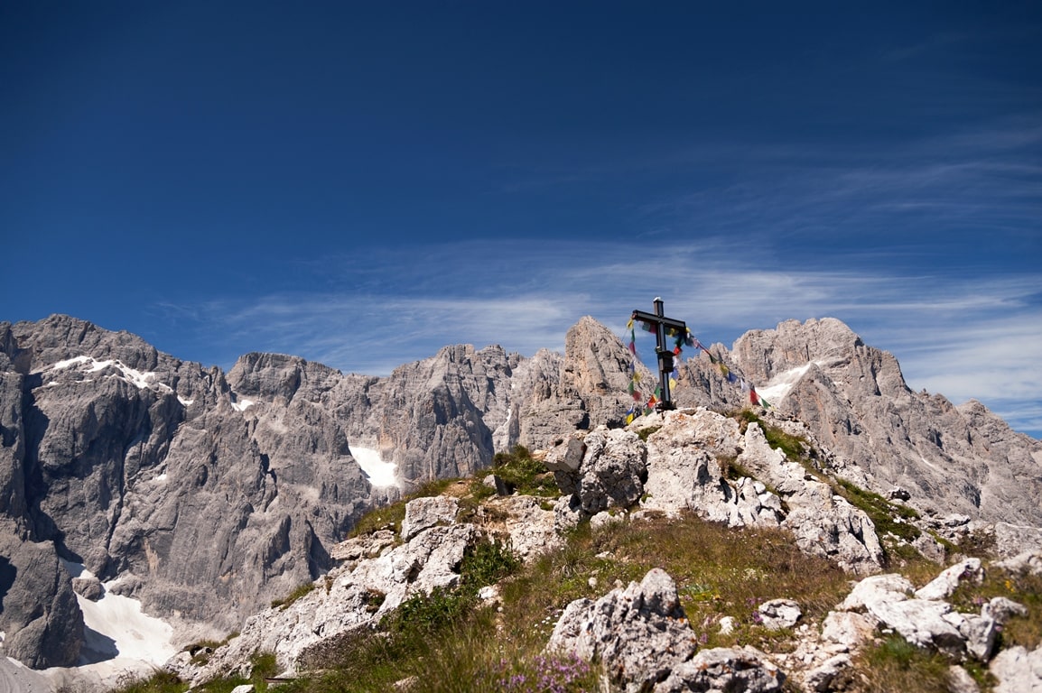
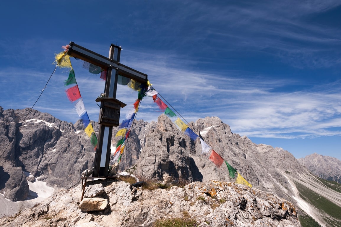
From here continue on the Creston Popera through paths and trenches of the First World War and reach Croda Sora i Colesei – wooden cross (2303 m), panoramic point on the Val Comelico, Val Pusteria and the Austrian Alps (60 minutes).
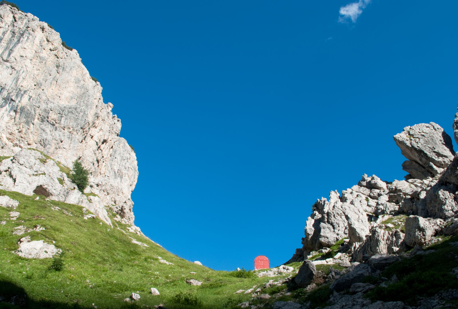
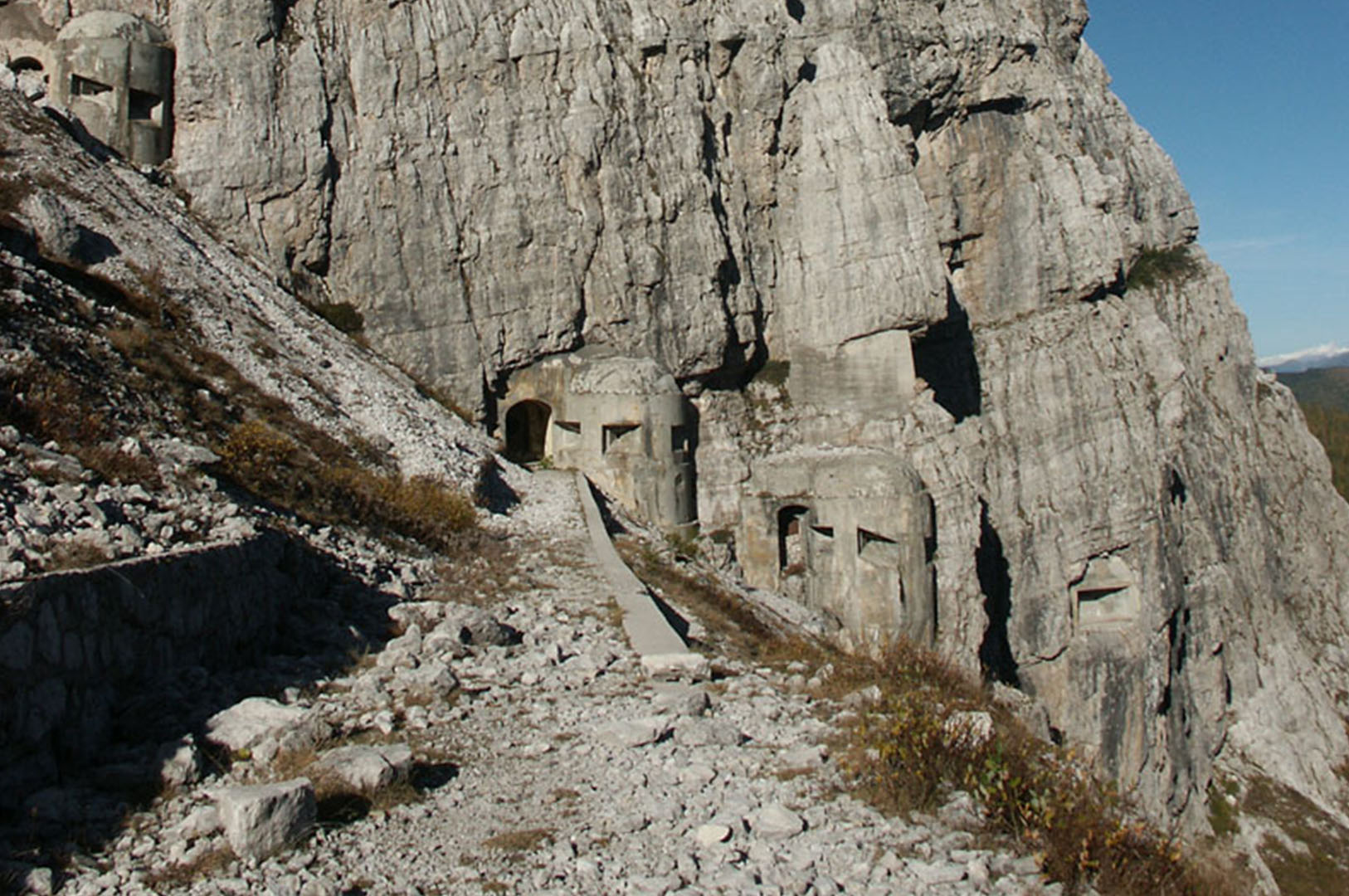
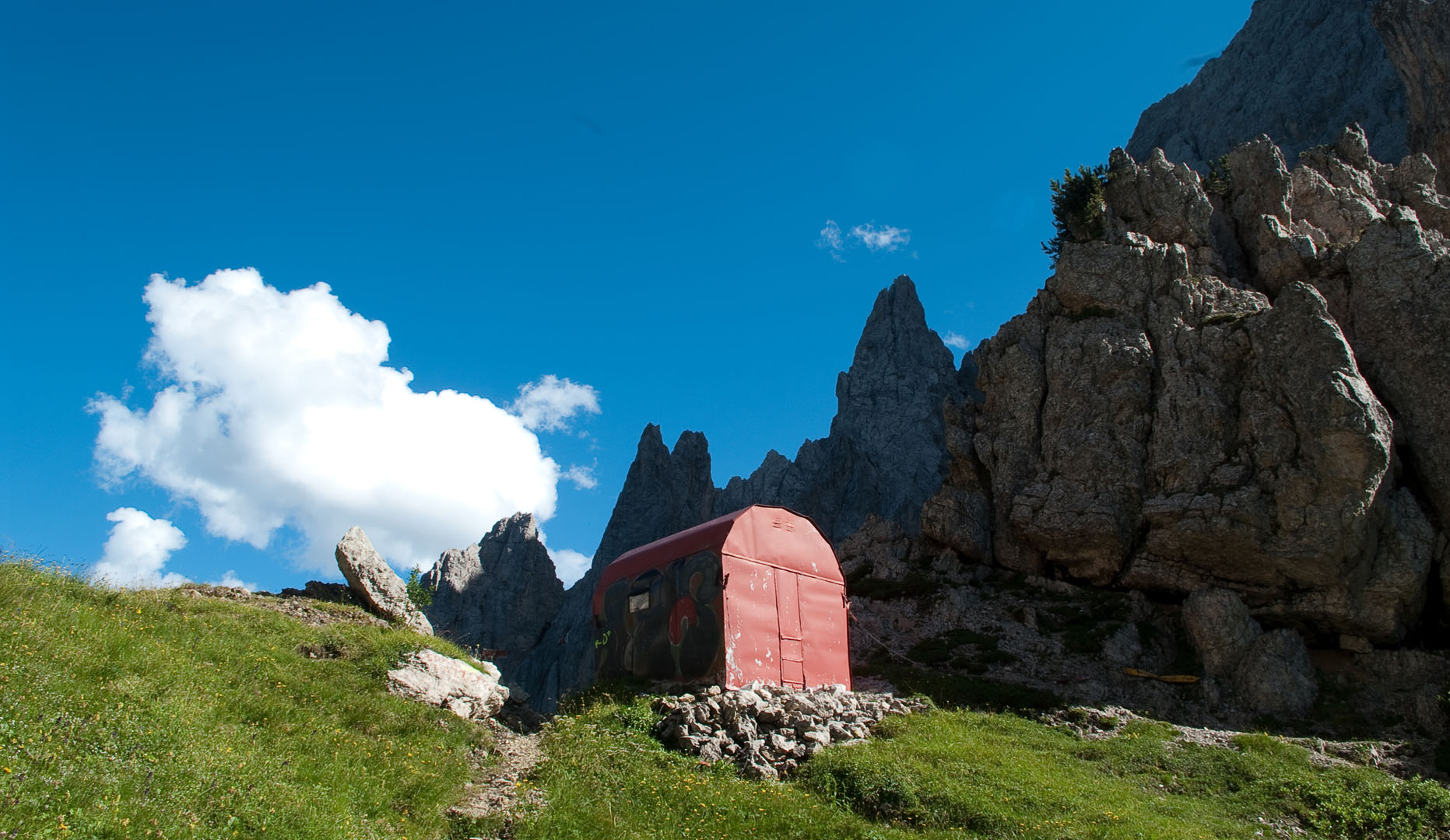
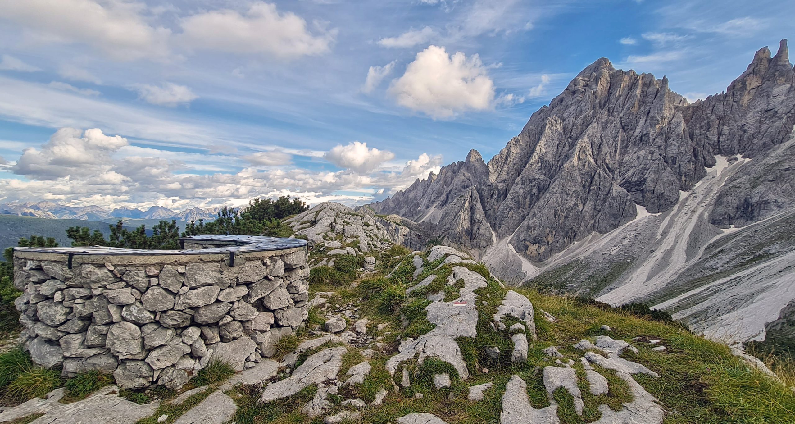
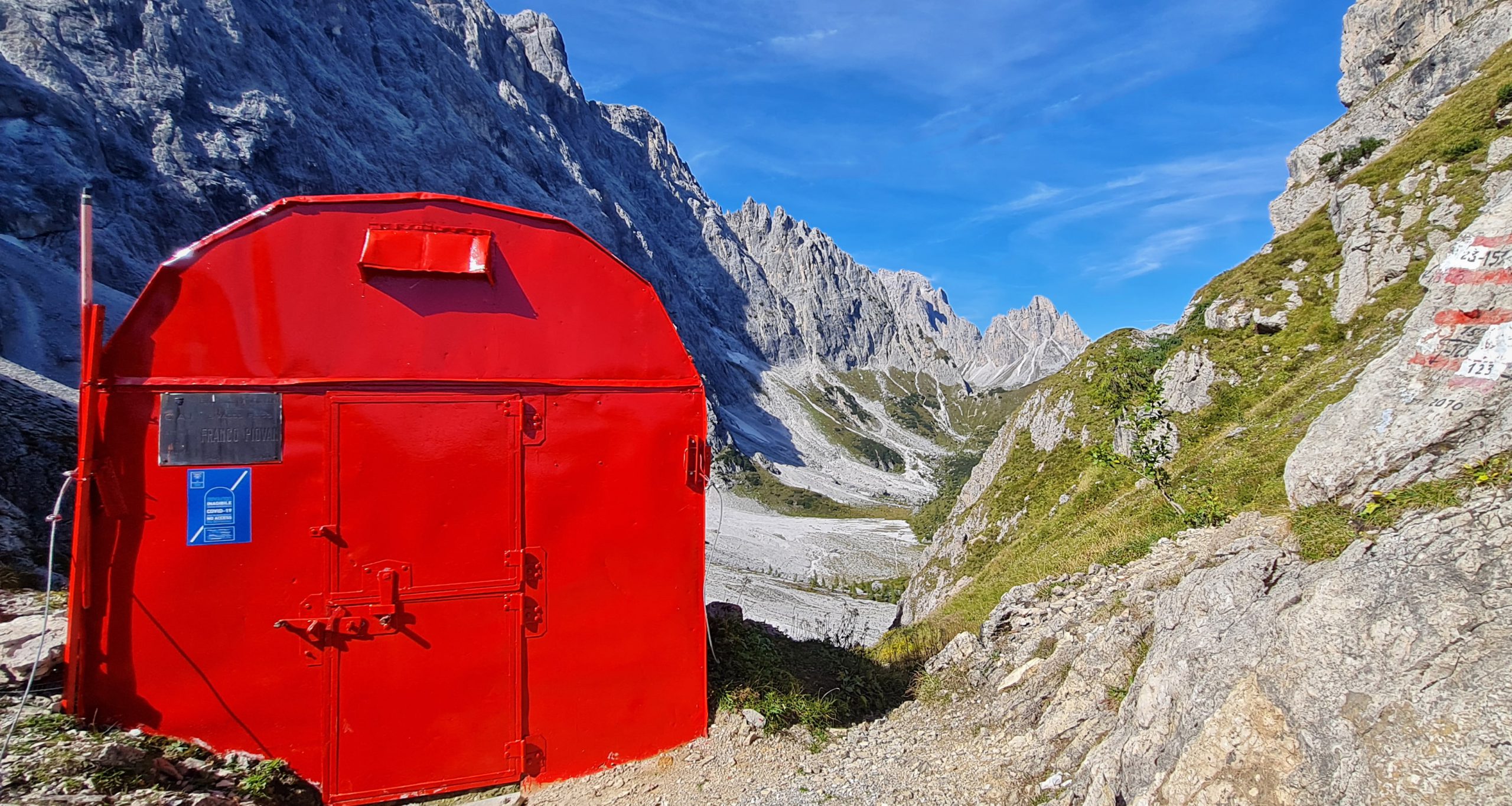
Returning to the same path for 5 minutes, turning right at the crossroads, you can reach the Popera fork (2298 m) (table – trail sign 122 and ![]() – 20 minutes). The visit to the war tunnels with an observatory on the Val Pusteria is suggestive.
– 20 minutes). The visit to the war tunnels with an observatory on the Val Pusteria is suggestive.
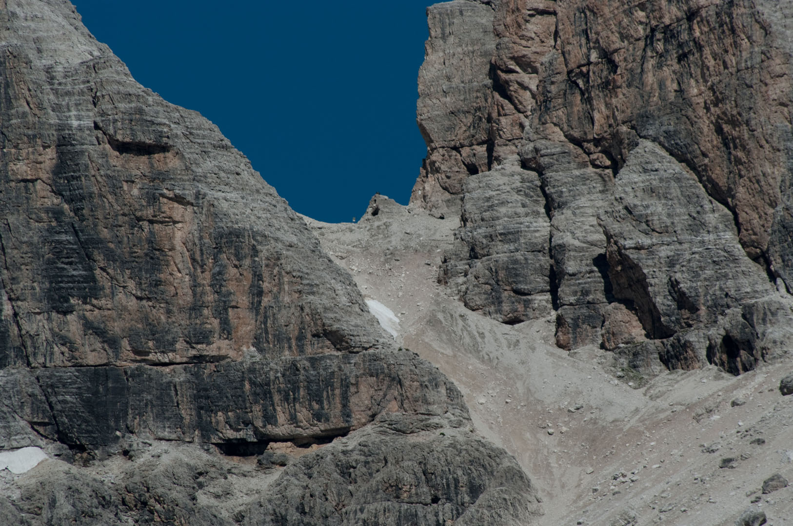
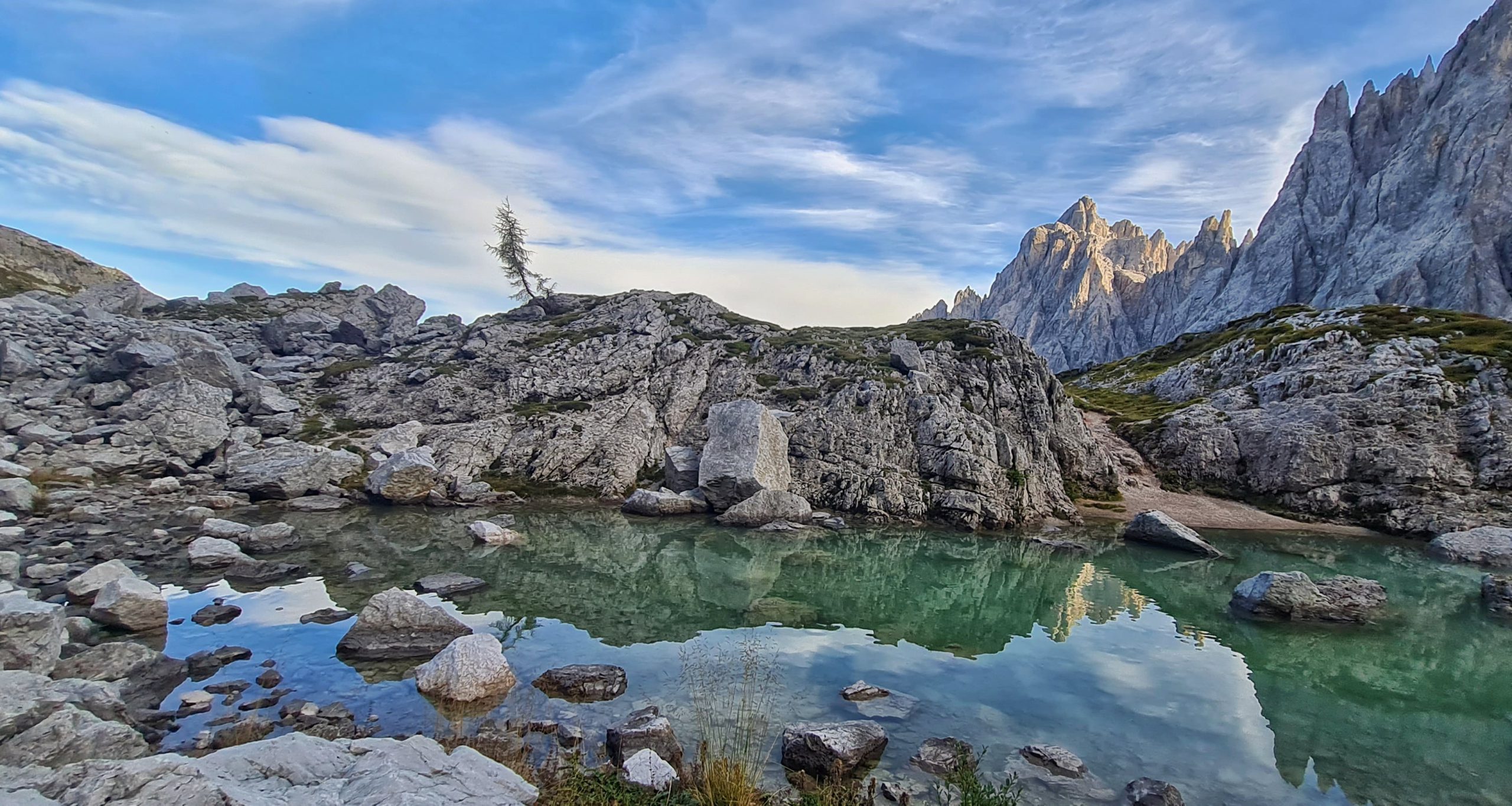
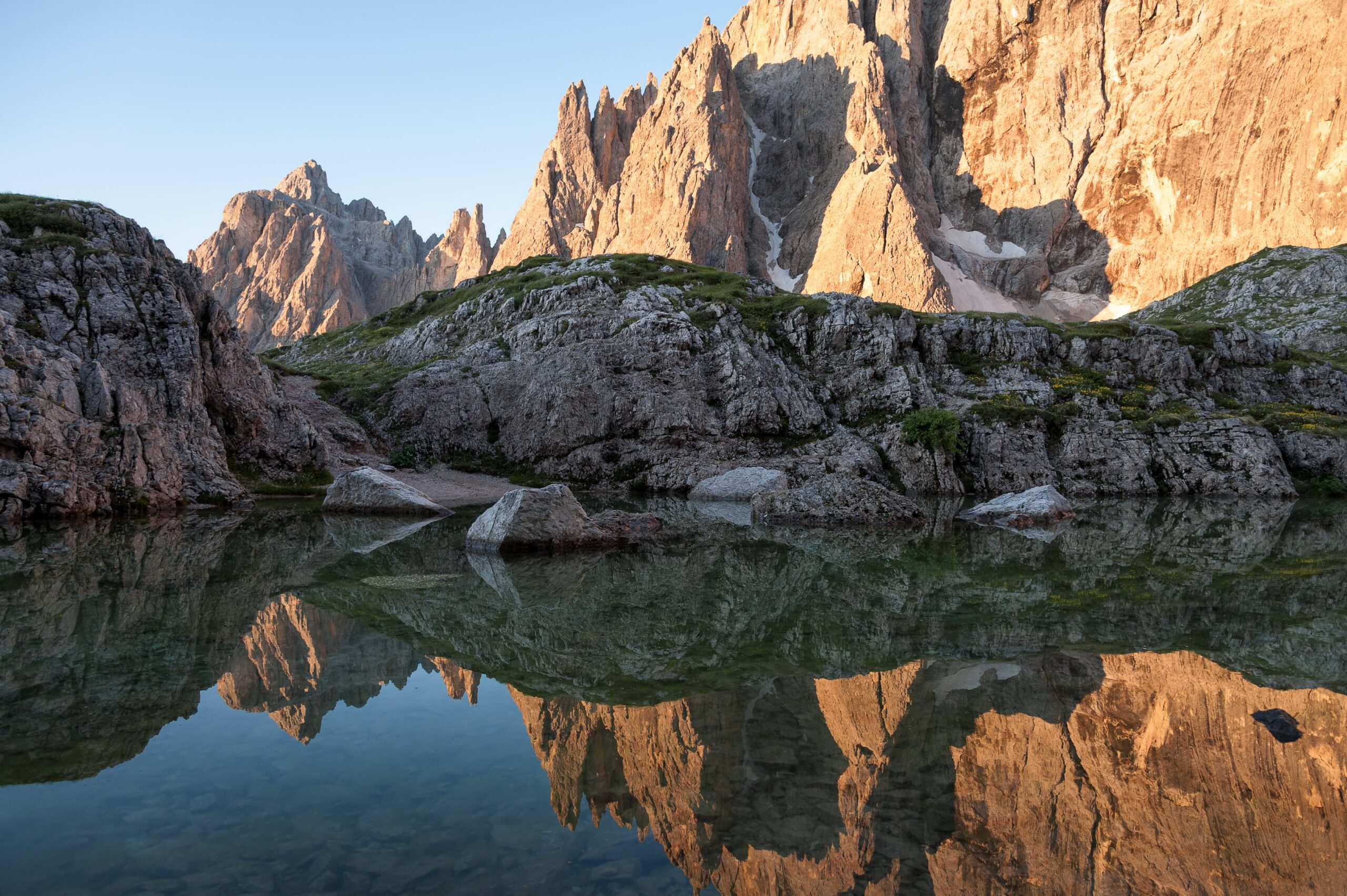
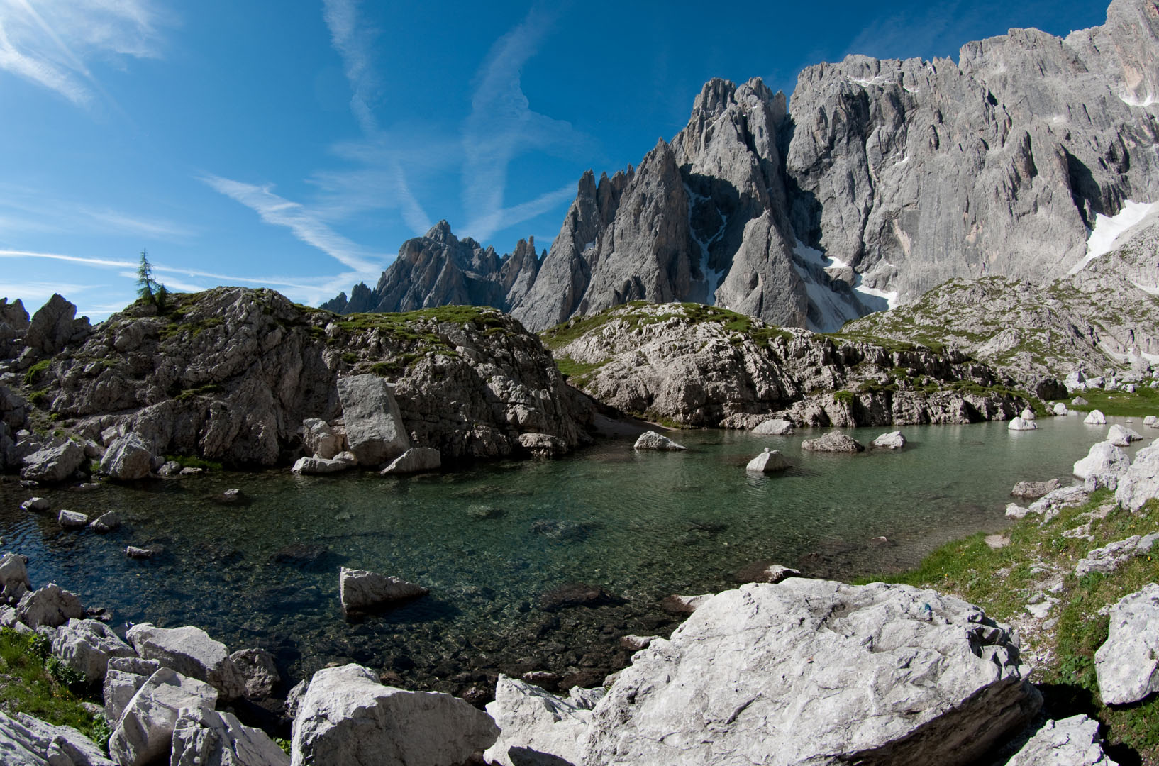
Going downhill along the path that passes under the Triangolo di Popera, you will reach the junction at an altitude of 2105 where, on the right for path 124, you will reach the small but fascinating Popera lake (2142 m) (35 minutes).
From here you can return to the Berti Hut, thanks to the path 101 (30 minutes).
You can make the various stages of the Vallon Popera ring also individually:
Berti Hut – Popera lake and return at 1.00 am – path 101
Berti Hut – Sala Hut – Belvedere and return at 1.00 am – path 122
Berti Hut – Popera fork and return at 2.00 am – path 122, at the end of the hairpin bends, table, signpost on the left ![]() .
.